What is recorded here
Situated on a natural rise, in gently undulating and hilly pasture, with good views in all directions. In the centre of ringfort (WM025-038----) is a long surface depression (L 9m; Wth 2.2m) extending ESE-WNW to a circular depression (diam. 2.5m) at the WNW end, just within the ringfort bank. The linear and circular depressions are defined along the edges by what may be the upper portions of drystone walling. This is interpreted as a subterranean passage leading to the chamber of a Man-made underground passage.
Compiled by Alison McQueen, Vera Rahilly and Caimin O’Brien.
Date of upload: 05 September 2019
The monument record does not grant public access. Check the route and ask the landowner before entering private land.
- What survives
- Recorded monument
Places near here
 IndicatedFairy fort / earthen ringfort · 740 yd
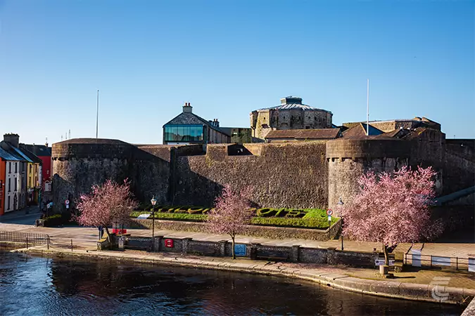 Oldtown CastleCastle · 1110 yd
 OutlinedFairy fort / earthen ringfort · 1223 yd
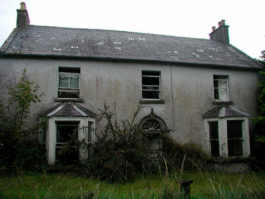 Churchtown Househouse · 1231 yd
 Site of CastleCastle, unclassified · 1386 yd
 Ancient Ring FortWood · 1409 yd
 Church in Churchtown (rathconrath By.)Church · 1435 yd
 Hill of UisneachMountain / peak · 2.4 mi
 European ashEuropean ash · 3.2 mi
 Srudarra IslandIslet · 6.9 mi
 Kilmalady HillMountain / peak · 8.8 mi
 Abbeyshrule AbbeyRuins · 8.9 mi