What is recorded here
In the SW quadrant of a rath (MA081-033001-). A grassed-over depression (Wth 3.6m; D 0.45m), possibly a collapsed Man-made underground passage passage, extends from an eroded section of the rath bank at SSW for 11m through the interior to NNE where it narrows to 1m in width for a further 3m. A heap of field clearance stones partly fills the NNE end of the depression.
Compiled by: Jane O’Shaughnessy
Date of upload: 8 December 2021
The monument record does not grant public access. Check the route and ask the landowner before entering private land.
- What survives
- Recorded monument
Places near here
 IndicatedFairy fort / earthen ringfort · 12 yd
 Mannin Housefarm house · 749 yd
 Promontory fortPromontory fort, inland · 837 yd
 CastleCastle, unclassified · 860 yd
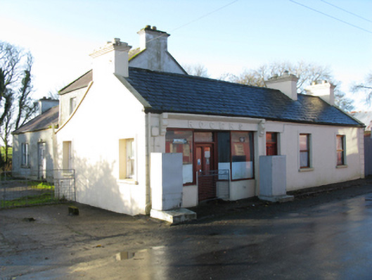 Rogershouse · 1508 yd
 Rath Castle in ruinsCastle, tower house · 1.8 mi
 East Mayo Brigade MonumentMemorial · 3.1 mi
 Knock MuseumMuseum · 3.8 mi
 Knock ShrineHeritage attraction · 3.8 mi
 I'll Send You The FareMemorial · 7.0 mi
 Oak WoodForest · 11 mi
 Geoffrey's WoodForest · 11 mi