What is recorded here
Under the north-east bank of a West Cork ringfort, a shallow depression still marks the mouth of a closed underground passage. O'Kelly recorded it in 1946 but entered no further detail, leaving behind a hole in the story rather than a room in it. Perhaps people once stepped through that shadow to escape rain, hide bread, or speak without being overheard. The earth kept the entrance small and the memory smaller, which is usually how useful places disappear.
In ringfort (CO110-05601-). Closed, no details (O'Kelly 1946, 63). Depression noted inside NNE bank may indicate position of Man-made underground passage.
The above description is derived from the published 'Archaeological Inventory of County Cork. Volume 1: West Cork' (Dublin: Stationery Office, 1992). In certain instances the entries have been revised and updated in the light of recent research.
Date of upload/revision: 14 January 2009
The monument record does not grant public access. Check the route and ask the landowner before entering private land.
- What survives
- Recorded monument
Places near here
 Table StoneMass-rock · 1423 yd
 Fulacht fia in Clancool BegFulacht fia · 1458 yd
 Quarry in Clancool MoreQuarry · 1.2 mi
 Ballynough Bridgebridge · 1.3 mi
 Carbury's WellSpring · 1.5 mi
 Cathal Hurley MemorialMemorial · 1.7 mi
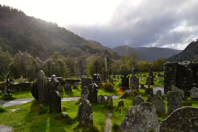 Graveyard in GullyGraveyard · 1.8 mi
 Cottage Road WoodWood · 2.6 mi
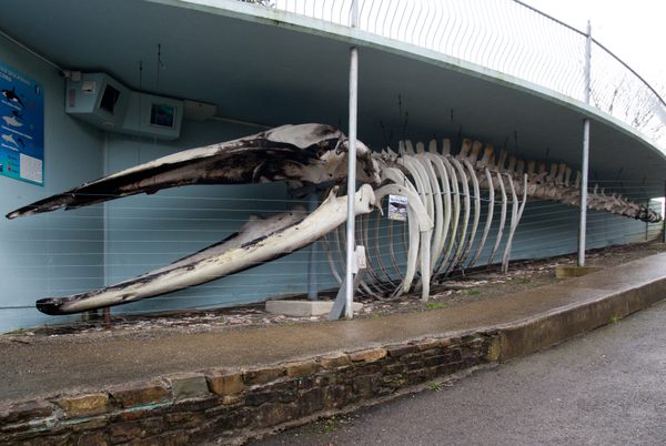 Kilbrittain WhaleHeritage attraction · 3.6 mi
 Burrane Castle (Site of)Castle, unclassified · 3.9 mi
 Marie LouiseWreck · 4.0 mi
 Quay WoodWood · 4.1 mi