What is recorded here
Within the perimeter of rath (RO029-077001-) at NW. A grass-covered depression (dims 7m WNW-ESE; 1m NNE-SSW; D 0.2-0.3m) runs WNW from the centre and turns S at the W end (L 5m). No stones are visible, but there is local knowledge of an underground passage (Gannon 1972).
Compiled by: Michael Moore
Date of upload: 24 August 2010
The monument record does not grant public access. Check the route and ask the landowner before entering private land.
- What survives
- Recorded monument
Places near here
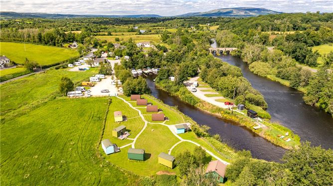 IndicatedFairy fort / earthen ringfort · 743 yd
 CastleCastle, unclassified · 746 yd
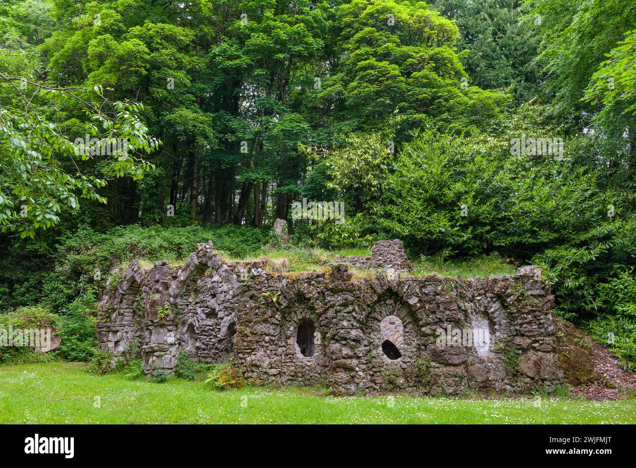 Embanked enclosureFairy fort / earthen ringfort · 1013 yd
 R. C. ChapelChurch · 1494 yd
 Church (in Ruins)Church · 1509 yd
 Doughill ForestForest · 1.7 mi
 Strokestown House GardensHeritage attraction · 1.7 mi
 Strokestown ParkHeritage attraction · 1.8 mi
 Common LimeCommon Lime · 1.8 mi
 Slieve BawnMountain / peak · 2.3 mi
 Leitrim CastleCastle, unclassified · 4.1 mi
 Commons North WalkVisitor information · 6.7 mi