What is recorded here
Underground chambers at Lisrenny and Ardee defy easy belief because human hands shaped rock that nature never hollowed. The 1835 Ordnance Survey marked a cave, yet no local memory explains who dug it or why. Perhaps travellers needed shelter from Louth storms, or lovers hid there when roads became dangerous. Stone does not record heartbeats, but the chamber still holds the shape of every person who entered it afraid or eager.
The following description is derived from both the published 'Archaeological Inventory of County Louth' (Dublin: Stationery Office, 1986) and the 'Archaeological Survey of County Louth' (Dublin: Stationery Office, 1991). In certain instances the entries have been revised and updated in the light of recent research.
Date of upload/revision: 17 July 2007
'Cave' marked on 1835 ed. OS 6-inch map. No local tradition of a site.
The monument record does not grant public access. Check the route and ask the landowner before entering private land.
- What survives
- Recorded monument
Places near here
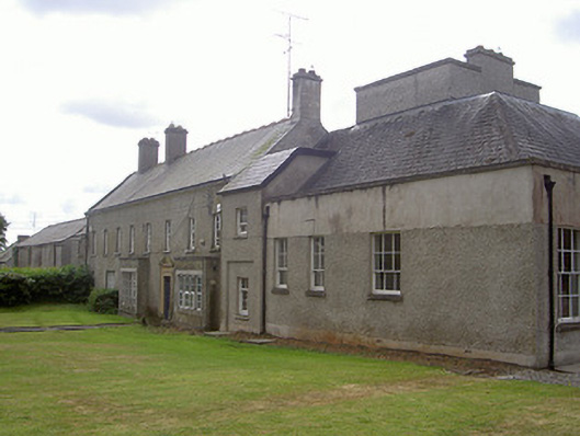 Lisrenny Housecountry house · 592 yd
 Lisrenny (Site of)Enclosure · 812 yd
 Enclosure in PepperstownEnclosure · 1031 yd
 Long PlantationForest · 1110 yd
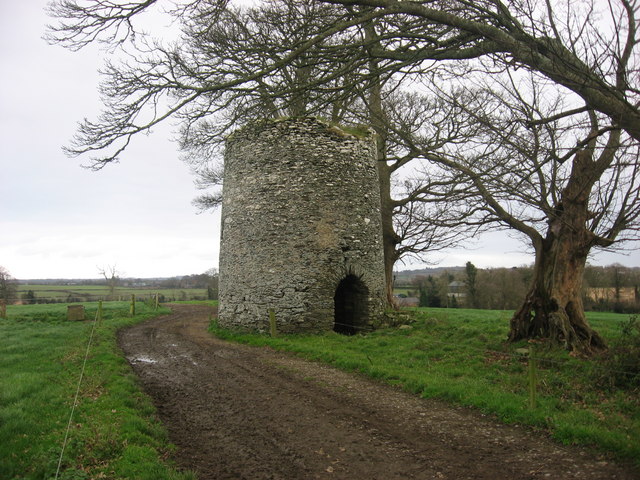 mill (wind)mill (wind) · 1399 yd
 Louth HallCastle, tower house · 1.1 mi
 Site of Cookstown CastleCastle, unclassified · 1.6 mi
 English hollyEnglish holly · 1.9 mi
 Sir Frederick Foster MemorialMemorial · 2.6 mi
 Graveyard in StickillinGraveyard · 3.3 mi
:no_upscale()/cdn.vox-cdn.com/uploads/chorus_asset/file/25593391/County_Louth_6th.jpg) LouthMountain / peak · 3.5 mi
LouthMountain / peak · 3.5 mi Mount OrielMountain / peak · 7.4 mi