What is recorded here
Lisnafana rath in County Cavan, Ireland holds an eleven-metre shallow trench running from a hut corner to a break in the bank. People may have cut that passage to move through the earth when rain, darkness or danger closed the ordinary way. The trench still aligns with the hut and the gap, preserving the shape of a choice made long before written memory.
Situated within the interior of Lisnafana rath (CV039-062001-). A wide, shallow, rectangular depression (L 11m; Wth 3m; D 0.25m) projecting out from the NW corner of a hut site and running due NW to adjoin a break in the bank of the rath, may mark the site of a Man-made underground passage.
The above description is derived from the published 'Archaeological Inventory of County Cavan' (Dublin: Stationery Office, 1995). In certain instances the entries have been revised and updated in the light of recent research.
Date of upload/revision: 22 December 2008
The monument record does not grant public access. Check the route and ask the landowner before entering private land.
- What survives
- Recorded monument
Places near here
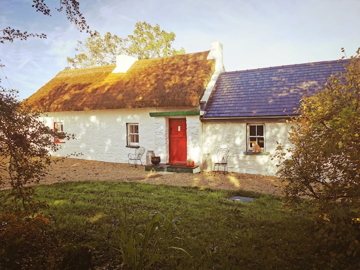 Correagh GlebeMountain / peak · 1014 yd
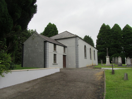 Bellasis Presbyterian Churchchurch/chapel · 1218 yd
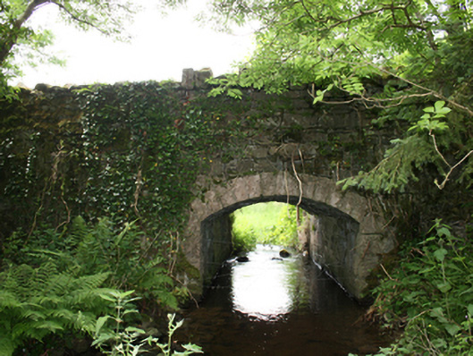 Curraghmore Bridgebridge · 1224 yd
 Lisgrea WoodlandWood · 1347 yd
 Aghaloughan Pollamalady ForestWood · 1.0 mi
 AghaloughanMountain / peak · 1.2 mi
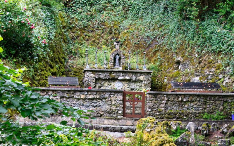 Holy WellHoly well · 1.6 mi
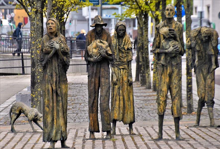 The Great FamineMemorial · 2.3 mi
 Peace BenchMemorial · 2.4 mi
 Carraig-na-SasanacNamed rock · 2.4 mi
 ToberpatrickHoly well · 2.4 mi
 The GPO ExhibitionMuseum · 2.7 mi