What is recorded here
Lisdrumfad rath in County Cavan, Ireland holds two shallow depressions meeting at an angle, the longer stretching 9.7 metres and the shorter 4.8 metres, marking the likely site of a man-made underground passage. The shape suggests a narrow entrance cut through the bank rather than a natural hollow, inviting imagination about the people who dug it and the shadowed path they created beneath the earth.
Situated inside a break in the bank of Lisdrumfad rath (CV023-034001-) at WSW. Two narrow, shallow depressions meeting at an angle, the longer leg (L 9.7m) aligned NE-SW and the other (L 4.8m) running NNW-SSE, probably indicates the site of a Man-made underground passage.
The above description is derived from the published 'Archaeological Inventory of County Cavan' (Dublin: Stationery Office, 1995). In certain instances the entries have been revised and updated in the light of recent research.
Date of upload/revision: 22 December 2008
The monument record does not grant public access. Check the route and ask the landowner before entering private land.
- What survives
- Recorded monument
Places near here
 Fairy fort / earthen ringfort in CargaghogeFairy fort / earthen ringfort · 438 yd
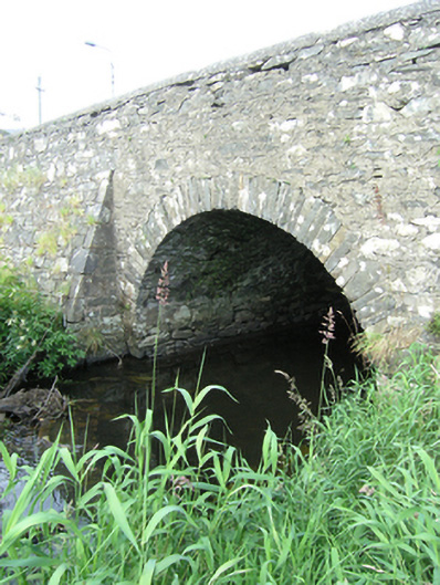 bridgebridge · 903 yd
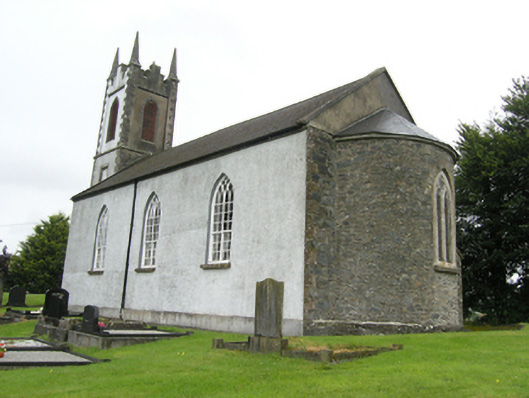 Killan Church of Ireland Churchchurch/chapel · 1021 yd
 Sillan LakeshoreWood · 1182 yd
 Bawn in LisdrumskeaBawn · 1200 yd
 Lisnageer FortFairy fort / earthen ringfort · 1429 yd
 Bush IslandIslet · 1480 yd
 Gull IslandIslet · 1.0 mi
 CarrickcreenyMountain / peak · 1.2 mi
 RaferaghMountain / peak · 1.7 mi
 NorthlandsWood · 2.9 mi
 Senator Billy Fox 1939 - 1974Memorial · 3.4 mi