What is recorded here
Located in a rath (MA102-035----). According to local tradition, a roughly circular, grassed-over depression (diam. c. 8m; D 1m) in the SW quadrant of the rath is the blocked up entrance to a Man-made underground passage.
Compiled by: Jane O’Shaughnessy
Date of upload: 27 September 2022
The monument record does not grant public access. Check the route and ask the landowner before entering private land.
- What survives
- Recorded monument
Places near here
 IndicatedFairy fort / earthen ringfort · 16 yd
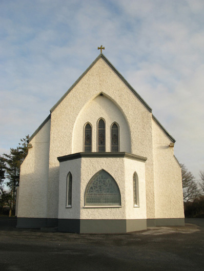 Catholic Church of Saint Theresa of the Little Flowerchurch/chapel · 615 yd
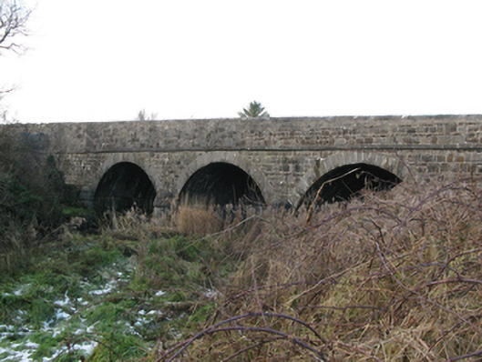 Brickeens Bridgebridge · 1355 yd
 St Bridgets WellsHoly well · 1.8 mi
 CastleCastle, unclassified · 2.0 mi
 Castlekeel (in ruins)Castle, unclassified · 4.8 mi
 Oak WoodForest · 5.1 mi
 Knock MuseumMuseum · 5.1 mi
 Knock ShrineHeritage attraction · 5.2 mi
 Geoffrey's WoodForest · 5.9 mi
 Mass RockNamed rock · 14 mi
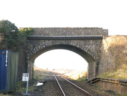 bridgebridge · 1651 yd