What is recorded here
Lackabane in Muskerry East By. contains two earth-cut chambers joined by narrow creepways, hidden beneath pasture until a heifer fell through a collapsed roof in 2007. The passage likely dates to an unknown period when people dug beneath the ground for concealment, worship or survival. Its blocked entrances and construction shafts suggest deliberate human making rather than natural decay. The cow did not discover so much as reveal what the land had been holding back.
In pasture, on level ground on an E-facing slope. Donoughmore church and graveyard (CO050-102002-, CO050-102003-) are c. 330m to the N. This Man-made underground passage was discovered in 2007 after a heifer fell into a hole (diam. c. 0.9m) in the ground formed when the roof of the Man-made underground passage collapsed spontaneously. It consists of two earth-cut chambers joined by creepways. Chamber 1 (3.55m NNE-SSW; max. 1.54m NNW-SSE; min. H 1.28m) is roughly oval in plan. It narrows to 1.1m at the N end. Its roof is c. 1.09m below the present ground level. It has two creepways, one at SW and the other at NW. The SW creepway (Wth 0.45m; H 0.39m) slopes upward to the SW but is blocked by collapsed earth. A tape pushed into this creepway showed that it extended for at least 0.94m. It is likely that this is the original entrance to the Man-made underground passage. At a distance of 0.86m N of this creepway is a blocked-up construction shaft (Wth 0.6m; H 0.4m). At a distance of 1.1m further to the N is the second creepway (Wth 0.48m; H c. 0.4m) which leads in a NNW direction into chamber 2. Chamber 2 (3.87m NNW-SSE; max. 1.68m NNE-SSW; H 1.3m) is roughly rectangular in plan and narrows to 1.34m at the NNW end. A blocked-up construction shaft (Wth 0.5m) is visible 0.37m W of the creepway.
The above description is derived from 'The Archaeological Inventory of County Cork. Volume 5' (Dublin: Stationery Office, 2009).
Date of upload: 22 December 2009
The monument record does not grant public access. Check the route and ask the landowner before entering private land.
- What survives
- Recorded monument
Places near here
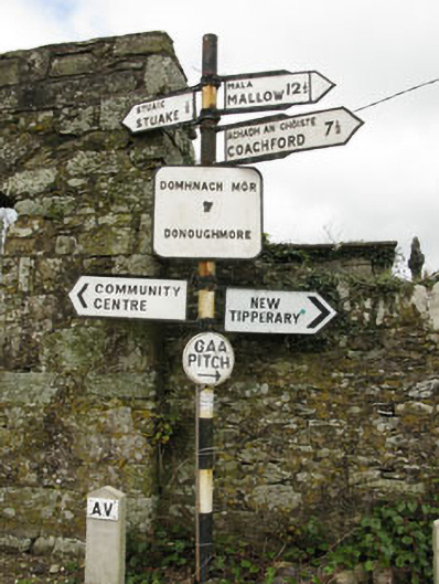 sign postsign post · 350 yd
 Grave YardGraveyard · 367 yd
 monumentmonument · 1125 yd
 Lackabane LiosFairy fort / earthen ringfort · 1293 yd
 New TipperaryVisitor information · 1394 yd
 Saint Bartholomew's WellSpring · 1.7 mi
 Ballyvodane Castle (in Ruins)Castle, unclassified · 2.8 mi
 Oldcastle WoodWood · 3.1 mi
 Knockduff Wind FarmVisitor information · 3.5 mi
 Carrignamuck Tower HouseCastle · 4.1 mi
 Lyradane MountainMountain / peak · 5.0 mi
 Ballyanly Inniscarra Slí na SláinteWalking route · 5.1 mi