What is recorded here
Near the S edge of a ridge, overlooking Garranes Lake a short distance to the S. According to local information, there is an entrance to an underground passage, which extends to the N, at this location. It is currently inaccessible due to a dense cover of briars, ferns and bushes.
The above description is derived from 'The Archaeological Inventory of County Cork. Volume 5' (Dublin: Stationery Office, 2009).
Date of upload: 22 December 2009
The monument record does not grant public access. Check the route and ask the landowner before entering private land.
- What survives
- Recorded monument
Places near here
 IndicatedFairy fort / earthen ringfort · 1269 yd
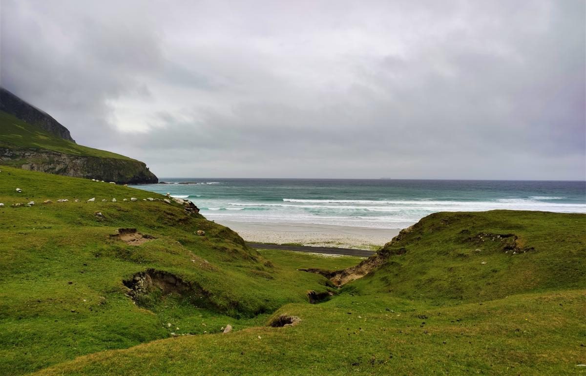 Fulacht fia in Kilnahera WestFulacht fia · 1.2 mi
 Milane HillMountain / peak · 1.4 mi
 Graveyard in ToughmacdermodyGraveyard · 2.2 mi
 Sacred Heart Roman Catholic Churchchurch/chapel · 2.5 mi
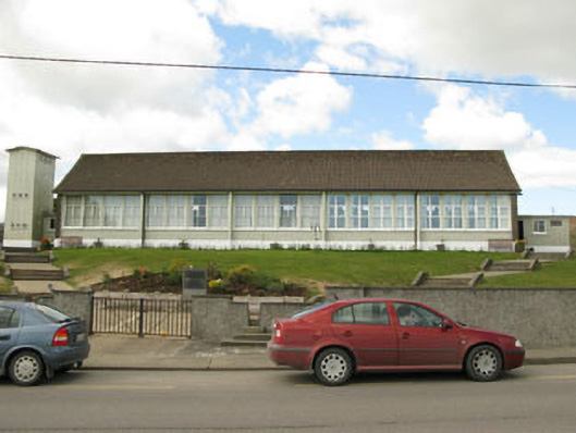 Scoil Mhuire Draighneaghschool · 2.5 mi
 Pookeen North TopMountain / peak · 2.9 mi
 Mohona WoodWood · 3.4 mi
 Drimoleague Heritage Loop WalkWalking route · 3.5 mi
 Delish Cascade WalkWalking route · 3.7 mi
 Castle (Site of)Castle, Anglo-Norman masonry castle · 4.1 mi
 Castle Donovan (in Ruins)Castle, tower house · 4.2 mi