
What is recorded here
Indicated is a circular earthen ringfort on the lower southeast slope of Milane Hill in County Cork, Ireland. Its bank stands 1.6 metres high and encloses a pasture area measuring 40 metres north-south and 38 metres east-west. Stone facing reinforces the interior eastern and northern edges, suggesting humans shaped the site before it returned to grass and rain.
In pasture, on lower SE slope of Milane Hill. Circular area (40m N-S; 38m E-W) enclosed by earthen bank (H 1.6m). Bank-stone faced internally to E and N.
The above description is derived from the published 'Archaeological Inventory of County Cork. Volume 1: West Cork' (Dublin: Stationery Office, 1992). In certain instances the entries have been revised and updated in the light of recent research.
Date of upload/revision: 14 January 2009
The monument record does not grant public access. Check the route and ask the landowner before entering private land.
- What survives
- Recorded monument
Places near here
 CaheruagongarFairy fort / stone ringfort · 1008 yd
 Milane HillMountain / peak · 1473 yd
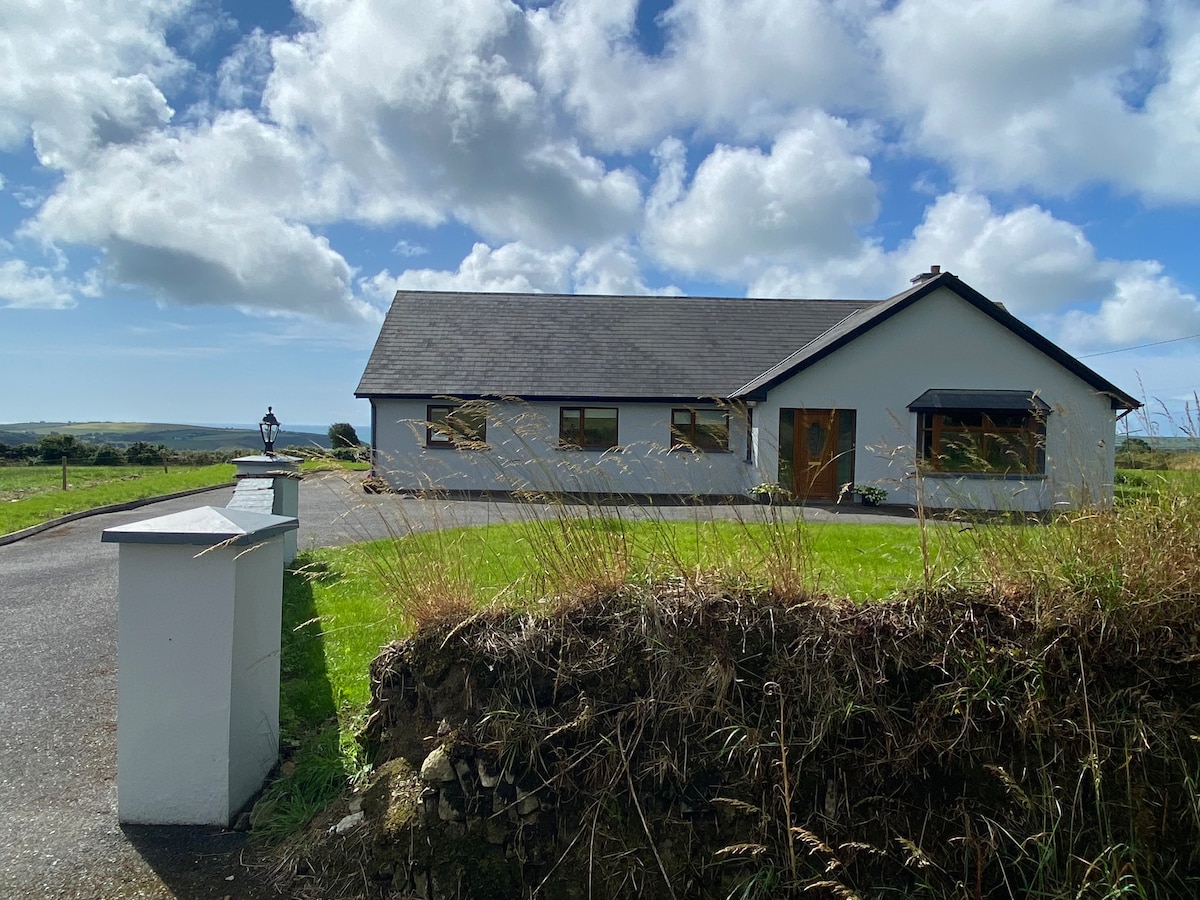 Hut site in Kilnahera WestHut site · 1.1 mi
 Pookeen North TopMountain / peak · 2.3 mi
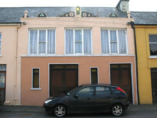 shop/retail outletshop/retail outlet · 2.9 mi
 Graveyard in ToughmacdermodyGraveyard · 3.0 mi
 Bridge in Derryclogh Lower,minanesBridge · 3.0 mi
 Drimoleague Heritage Loop WalkWalking route · 3.0 mi
 Delish Cascade WalkWalking route · 3.1 mi
 Castle Donovan (in Ruins)Castle, tower house · 3.6 mi
 Castle DonovanCastle · 3.6 mi
 Mohona WoodWood · 3.8 mi
Other information
Photo: Credit not shown in the picture search · Rights wording not checked; contact us if this picture should be removed