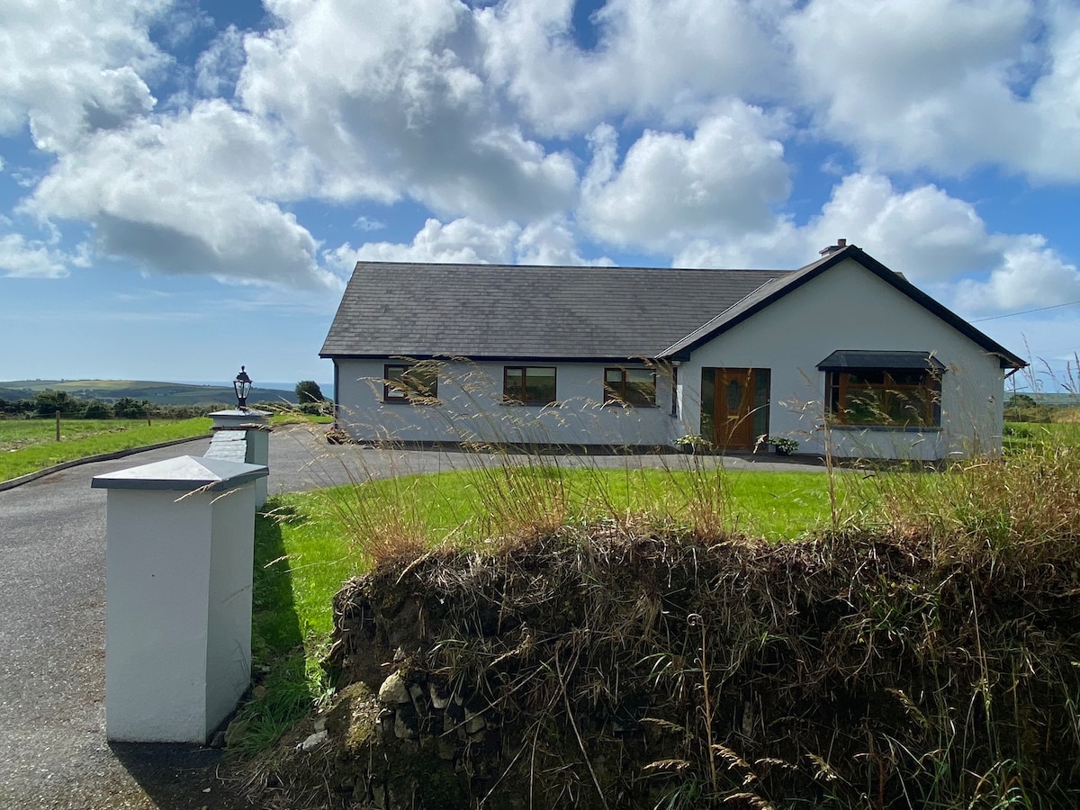
What is recorded here
In pasture, on a N-facing slope. According to local information, the outline of a possible circular hut site (diam. c. 3.5m) is visible as a circular band of differential colour and growth pattern in dry weather. This possible hut site was not visible at ground level at the time of inspection.
The above description is derived from 'The Archaeological Inventory of County Cork. Volume 5' (Dublin: Stationery Office, 2009).
Date of upload: 22 December 2009
The monument record does not grant public access. Check the route and ask the landowner before entering private land.
- What survives
- Recorded monument
Places near here
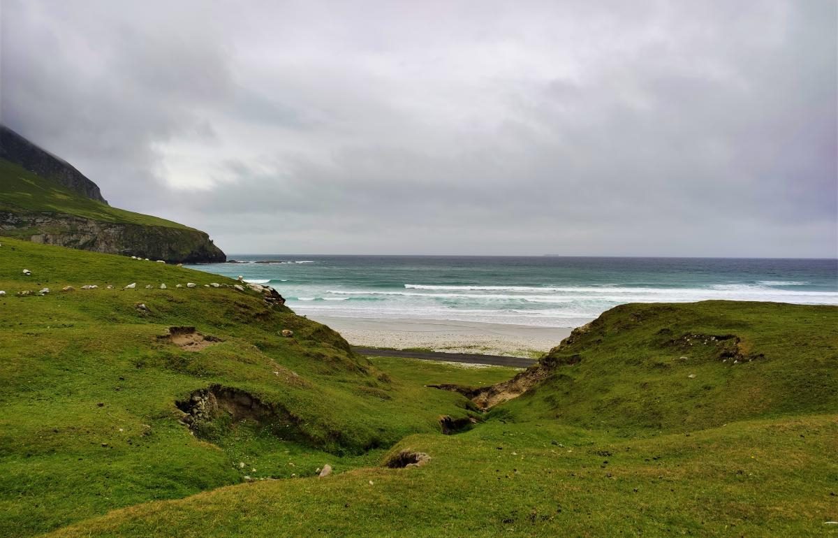 Fulacht fia in Kilnahera WestFulacht fia · 681 yd
 Parkalassa FortFairy fort / earthen ringfort · 1188 yd
 Milane HillMountain / peak · 1.8 mi
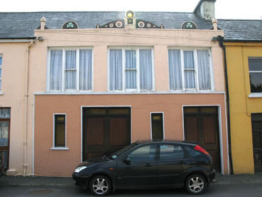 shop/retail outletshop/retail outlet · 2.0 mi
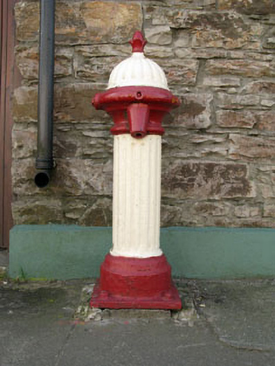 water pumpwater pump · 2.0 mi
 Drimoleague Heritage Loop WalkWalking route · 2.1 mi
 Moyny Bridge WalkWalking route · 2.5 mi
 Pookeen North TopMountain / peak · 3.1 mi
 Castle DonovanCastle · 3.3 mi
 Castle Donovan (in Ruins)Castle, tower house · 3.3 mi
 Graveyard in ToughmacdermodyGraveyard · 3.4 mi
 Mohona WoodWood · 4.7 mi
Other information
Photo: Credit not shown in the picture search · Rights wording not checked; contact us if this picture should be removed