
What is recorded here
Caheruagongar is a stone ringfort on Miland Hill in County Cork, Ireland. Its circular wall still stands around a central mound marked as a cave on old maps, hinting at an underground passage beneath the grass. The fort sits atop a knoll in open pasture, where sheep may have grazed above a hidden chamber since before written memory.
In pasture, atop knoll on SSW-facing slope of Miland Hill. Circular area (26.5m N-S; 25.8m E-W) enclosed by stone wall; inner face well preserved (H 0.6m); outer face survives to NE, ESE and WSW, giving original width of 2.75m. At centre overgrown subcircular mound (H 0.95m; 17m N-S; 11m E-W) with central depression (diam. 4m; D 0.5m); this feature marked as "cave" on both eds O.S. map; according to Nyhan (McCarthy 1977, 326) a Man-made underground passage was found here (CO120-006002-).
The above description is derived from the published 'Archaeological Inventory of County Cork. Volume 1: West Cork' (Dublin: Stationery Office, 1992). In certain instances the entries have been revised and updated in the light of recent research.
Date of upload/revision: 14 January 2009
The monument record does not grant public access. Check the route and ask the landowner before entering private land.
- What survives
- Recorded monument
Places near here
 IndicatedFairy fort / earthen ringfort · 1008 yd
 Parkalassa FortFairy fort / earthen ringfort · 1491 yd
 Milane HillMountain / peak · 1.0 mi
 Pookeen North TopMountain / peak · 2.2 mi
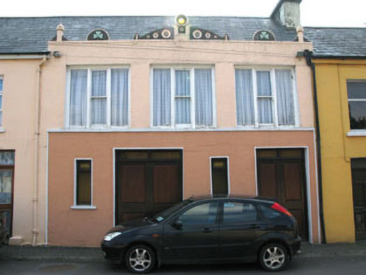 shop/retail outletshop/retail outlet · 2.4 mi
 Drimoleague Heritage Loop WalkWalking route · 2.5 mi
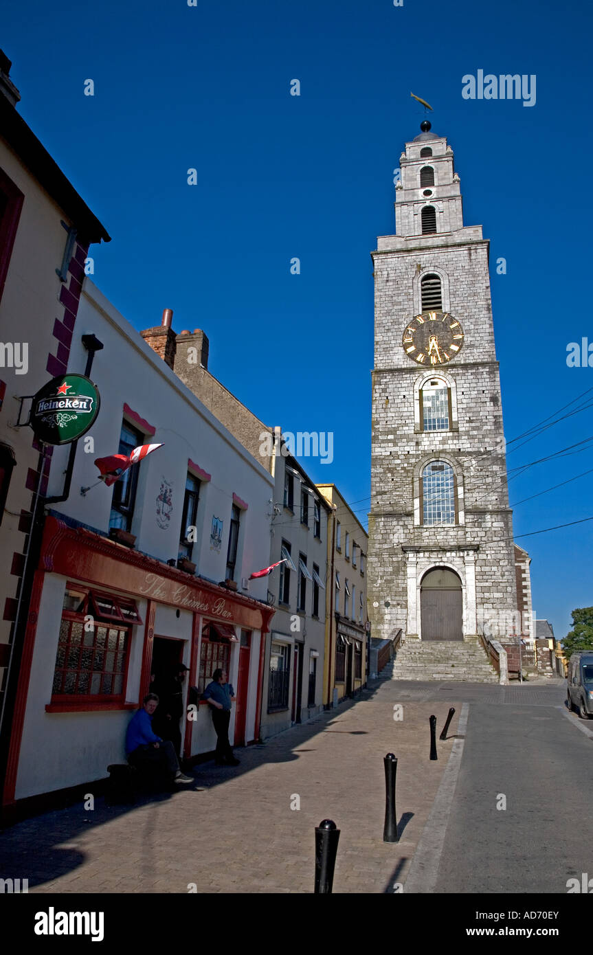 Church (in Ruins)Church · 2.5 mi
 Delish Cascade WalkWalking route · 2.5 mi
 Castle Donovan (in Ruins)Castle, tower house · 3.0 mi
 Castle DonovanCastle · 3.0 mi
 Graveyard in ToughmacdermodyGraveyard · 3.5 mi
 Mohona WoodWood · 4.4 mi
Other information
Photo: Credit not shown in the picture search · Rights wording not checked; contact us if this picture should be removed