What is recorded here
Situated on a S-facing slope, just below rock outcrop to the N. A collapsed circular chamber (diam. c. 2.4m) connected by a creep (L c. 1.2m) to an intact oval chamber (dims. c. 3.35m x c. 1.5m; H c. 1.5m) which has a blocked entrance passage (L 1.5m), at the far end. It was discovered in the 1890s when it was reportedly associated with slight traces of a 'lios' (WA017-097001-) (P. 1894-5; Anon. 1912, 279). It is now closed, but visible as a shallow depression in the ground surface (diam. 14m) of a pasture field.
Anon. (1912) Proceedings - Waterford historical sketch, JRSAI 42, 256-83.
P. (1894-5) Notes and queries - Interesting discovery of bee-hive chambers. WAJ 1, 230-32.
Compiled by: Michael Moore
Date of upload: 29 July 2010
The monument record does not grant public access. Check the route and ask the landowner before entering private land.
- What survives
- Recorded monument
Places near here
 Enclosure in KnockeenEnclosure · 1 yd
 DolmenPortal tomb · 226 yd
 Sugar Loaf RockMountain / peak · 836 yd
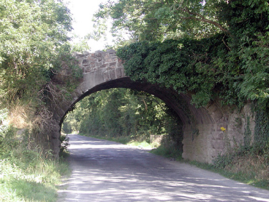 Historic buildingOfficially recorded historic building · 1.3 mi
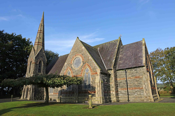 St, Brigets Church (in ruins)Church · 1.3 mi
 Cullen Castle (in ruins)Castle, tower house · 1.5 mi
 Mote or TumulusCastle, motte · 2.4 mi
 Mount Congreve GardensHeritage attraction · 3.1 mi
 Monterey CypressMonterey Cypress · 3.4 mi
 Tourist InformationVisitor information · 3.4 mi
 Sweet micheliaSweet michelia · 3.4 mi
 Doneraile WalkWalking route · 3.6 mi