What is recorded here
At Knockaraheen cashel (CV043-015001-). An L-shaped depression, the longer leg (L 14m; Wth 4m) aligned E-W and the other (L 6m; Wth 2m) running N-S within the interior, may indicate the site of a Man-made underground passage.
The above description is derived from the published 'Archaeological Inventory of County Cavan' (Dublin: Stationery Office, 1995). In certain instances the entries have been revised and updated in the light of recent research.
Date of upload/revision: 22 December 2008
The monument record does not grant public access. Check the route and ask the landowner before entering private land.
- What survives
- Recorded monument
Places near here
 Enclosure in KnockaraheenEnclosure · 1 yd
 Site of Old CastleCastle, unclassified · 713 yd
 IndicatedFairy fort / stone ringfort · 897 yd
 IslandMountain / peak · 1505 yd
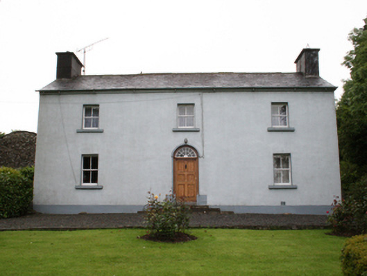 farm housefarm house · 1.3 mi
 Drumlerry WetlandForest · 1.4 mi
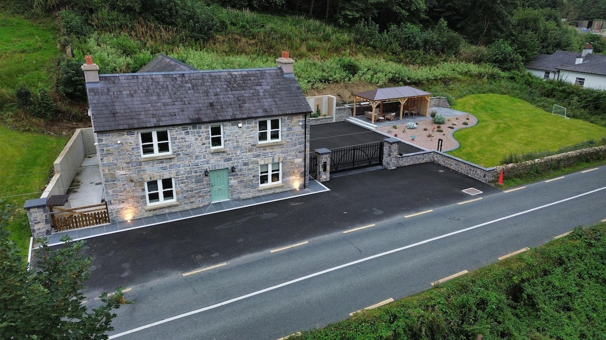 ChurdhChurch · 1.4 mi
 Fennor RockMountain / peak · 1.7 mi
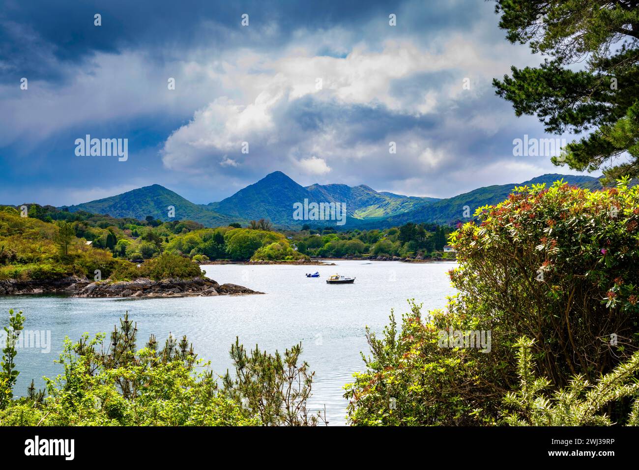 Behernagh IslandIslet · 2.0 mi
 Knockatemple WoodlandWood · 2.1 mi
 Ryefield IslandIslet · 2.1 mi
 Oliver Plunkett memorialMemorial · 2.6 mi