
What is recorded here
Located in a NW-SE valley with drumlins to the NE and SW. There are local reports of an underground passage or souterran in this part of Kiltybegs. However, details are lacking and the precise location is not known.
The above description is derived from the published 'Archaeological Inventory of County Monaghan' (Dublin: Stationery Office, 1986). In certain instances the entries have been revised and updated in the light of recent research.
Date of revision: 31 July 2017
The monument record does not grant public access. Check the route and ask the landowner before entering private land.
- What survives
- Recorded monument
Places near here
 Man-made underground passage in Kiltybegs (farney By)Man-made underground passage · 464 yd
 Not indicaetdMan-made underground passage · 965 yd
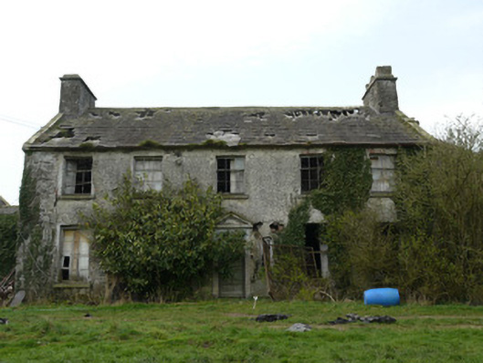 Rocksavagecountry house · 1673 yd
 bridgebridge · 1.1 mi
 CastleCastle, unclassified · 2.4 mi
 Mannan Castle (in ruins)Castle, Anglo-Norman masonry castle · 2.8 mi
 Horse-chestnutHorse-chestnut · 4.1 mi
 TobernagalliaghSpring · 4.2 mi
 European BeechEuropean Beech · 4.5 mi
 KnockreaghMountain / peak · 5.0 mi
 Flat cemetery in AnnaheanFlat cemetery · 5.0 mi
:no_upscale()/cdn.vox-cdn.com/uploads/chorus_asset/file/25593391/County_Louth_6th.jpg) LouthMountain / peak · 5.3 mi
LouthMountain / peak · 5.3 miOther information
Photo: Credit not shown in the picture search · Rights wording not checked; contact us if this picture should be removed