What is recorded here
Kilteenbane preserves a half-metre-high drystone tunnel beneath a hut wall, linking an interior chamber to the scarp edge above Glenfais. The rest has flattened into a shallow line, but the surviving roofed section still excludes daylight and resists forgetting. Whoever cut that passage understood the slope, the soil and the danger of falling through. It remains a small, deliberate hole in the ground, making the landscape admit what it first concealed.
Roughly circular, univallate rath KE046-001, with a Man-made underground passage (KE046-001002-) and 2 hut sites (KE046-001001- & KE046-001003-), located in rough pastureland, on an ENE facing slope near the head of Glenfais.
Within NW part of the interior is a circular hut foundation (KE046-001001-). A Man-made underground passage (KE046-001002-) passage extending from inside the hut to the edge of the scarp is now for the most part marked only by a shallow linear depression. However, part of the drystone-built passage is preserved where it passes under the hut wall. This section is roofed by 3 slabs and measures 1.5m long x c. 0.7m wide x c. 0.6m high.
The above description is derived from J. Cuppage, ‘Corca Dhuibhne. Dingle Peninsula archaeological survey. Ballyferriter. Oidhreacht Chorca Dhuibhne’ (1986), no. 481. In certain instances the entries have been revised and updated in the light of recent research.
Date of upload: 7 August 2013
The monument record does not grant public access. Check the route and ask the landowner before entering private land.
- What survives
- Recorded monument
Places near here
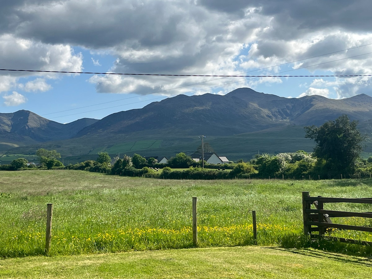 Hut site in Beheenagh (corkaguiny By.)Hut site · 864 yd
 Enclosure in CoolEnclosure · 1256 yd
 Church in CurracullenaghChurch · 1637 yd
 CastleCastle, unclassified · 1.0 mi
 KnockbrackMountain / peak · 1.0 mi
 CorrinMountain / peak · 1.2 mi
 Faisr's GraveArchaeological place · 1.2 mi
 Site of Camp CastleCastle, unclassified · 1.5 mi
 bridgebridge · 1.6 mi
 Graveyard in Baile An Chnocáin (tc An Cnoc Glas)Graveyard · 2.4 mi
 Cromane PointHeadland · 4.0 mi
 Derrymore Island Nature ReserveNature reserve · 5.0 mi