What is recorded here
Situated towards the bottom of a gentle S-facing slope. An early ecclesiastical site which may have had an oval ecclesiastical enclosure (WA008-030002-) originally, but this is now truncated at S by an E-W field bank. There is local knowledge of a 'hollow sound' under the lane immediately W of the enclosure which may be a Man-made underground passage.
Compiled by: Michael Moore.
Date of upload: 20th July, 2010.
The monument record does not grant public access. Check the route and ask the landowner before entering private land.
- What survives
- Recorded monument
Places near here
 Holy well in KilmoveeHoly well · 27 yd
 Church in KilmoveeChurch · 51 yd
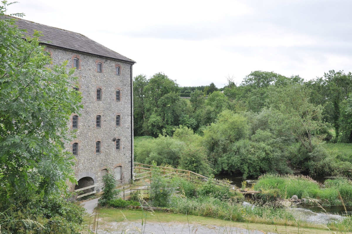 Kiln in KilmoveeKiln · 109 yd
 Embanked enclosureFairy fort / earthen ringfort · 734 yd
 Donnell's HillMountain / peak · 1.7 mi
 Beallough WoodForest · 2.0 mi
 The GroveWood · 2.1 mi
 Site of CastleCastle, unclassified · 2.3 mi
 Curraghmore HouseCastle · 2.7 mi
 Portlaw Heritage CentreMuseum · 3.2 mi
 Croughaun HillMountain / peak · 3.5 mi
 8 Arch GalleryGallery · 4.1 mi