What is recorded here
Not marked on any edition of the OS 6-inch map. A Man-made underground passage was discovered at this location when the road subsided in 1989. The road was subsequently repaired by the County Council and no surface trace of this monument is now evident.
Compiled by: Mark Keegan
Date of upload: 19 January 2011
The monument record does not grant public access. Check the route and ask the landowner before entering private land.
- What survives
- Recorded monument
Places near here
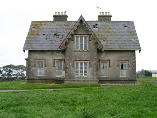 Templeviewhouse · 354 yd
 IndicatedFairy fort / earthen ringfort · 690 yd
 Split RockNamed rock · 785 yd
 Enclosure in Killeenduff (tireragh By.)Enclosure · 786 yd
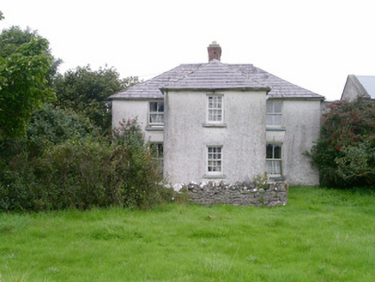 Rosleahouse · 850 yd
 Jim Smith MemorialMemorial · 1695 yd
 Cooanmore PointHeadland · 1740 yd
 Wild Atlantic Way: Easky PierVisitor information · 1.3 mi
 Roslee CastleCastle, tower house · 1.3 mi
 Bawn in CastletownBawn · 1.4 mi
 Aughris BeachBeach / strand · 7.3 mi
 Wild Atlantic Way: Inishcrone PierVisitor information · 7.7 mi