What is recorded here
Within the N sector of the interior of a rath (GA097-108001-). Two hollows, both aligned on the same E-W axis, may mark the site of a Man-made underground passage though no stonework is visible. The larger hollow to the W is 15m long, 4m wide and 1.5m deep, while that to the E is 6m long; 4m wide and 1m deep.
Compiled by: Galway Archaeological Survey, UCG
Date of upload: 5 January 2018
The monument record does not grant public access. Check the route and ask the landowner before entering private land.
- What survives
- Recorded monument
Places near here
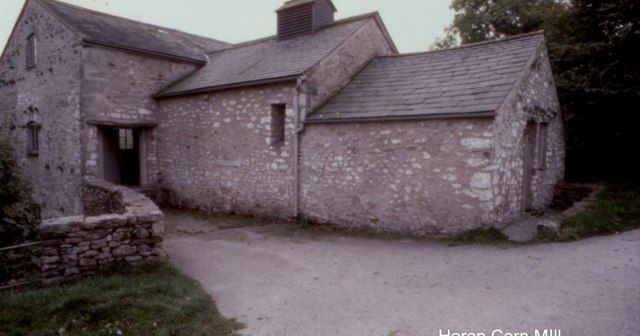 Corn MillMill, corn · 791 yd
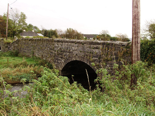 Kiltullagh Bridgebridge · 833 yd
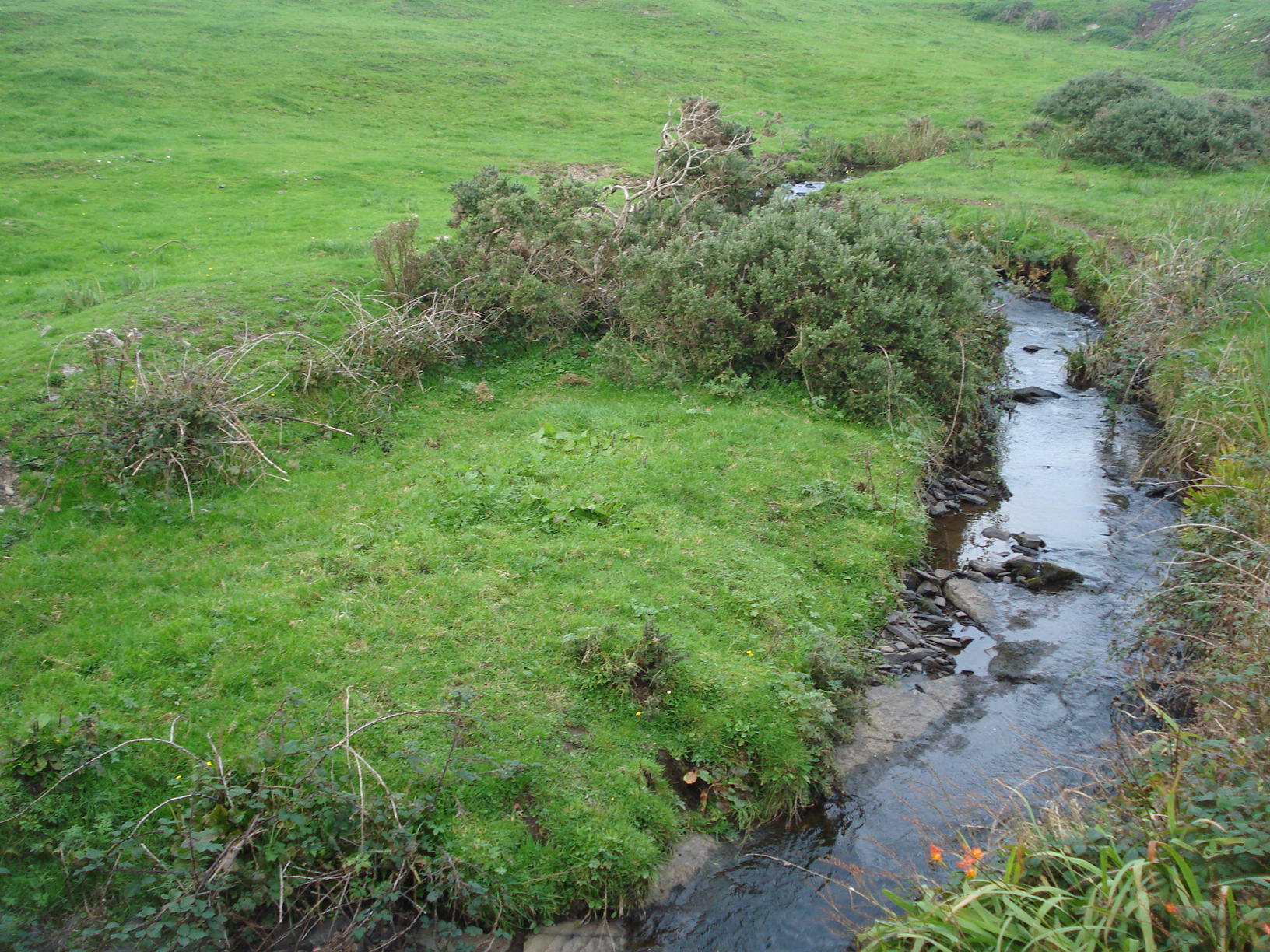 Field system in Carrowkeel (athenry By.)Field system · 976 yd
 Field system in ClogharevaunField system · 1041 yd
 Castle (in ruins)Castle, tower house · 1.5 mi
 MoteCastle, motte and bailey · 2.3 mi
 Turoe StoneHeritage attraction · 2.9 mi
 Moyard WoodWood · 3.8 mi
 Barrack IslandIslet · 5.8 mi
 Middle IslandIslet · 5.8 mi
 Kilconnell AbbeyHeritage attraction · 9.9 mi
 Kilcornan ForestWood · 10 mi