What is recorded here
Killany holds a collapsed stone tunnel aligned north to south, buried inside a possible ringfort. Its corbelled walls once guided footsteps through darkness, but time broke the passage and hid it from ordinary sight. Whatever purpose it served, the earth swallowed the proof while leaving behind a shape that still resists forgetting.
In possible ringfort (CO111-067001-). McCarthy (1977, 271) records a stone-built passage orientated N-S; side walls corbelled. Only portion of passage was accessible, the rest had collapsed. No visible surface trace.
The above description is derived from the published 'Archaeological Inventory of County Cork. Volume 2: East and South Cork' (Dublin: Stationery Office, 1994). In certain instances the entries have been revised and updated in the light of recent research.
Date of upload/revision: 14 January 2009
The monument record does not grant public access. Check the route and ask the landowner before entering private land.
- What survives
- Recorded monument
Places near here
 Site of Grave YdBurial ground · 244 yd
 Man-made underground passage (Site of)Man-made underground passage · 363 yd
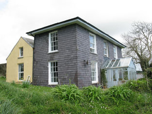 The Doonhouse · 696 yd
 Dunderrow WoodWood · 1134 yd
 Country house in Hollyhill (kinsale By.)Country house · 1373 yd
 Short Castle (Site of)Castle, unclassified · 1673 yd
 White Castle (in Ruins)House, fortified house · 1702 yd
 Battlefield in Ardcloyne,ballinacurra,ballythomas East,ballythomas West,ballyvrin Lower,ballyvrin Upper,horsehill More (north),horsehill More (south)Battlefield · 1.1 mi
 Ballinacurra WoodWood · 1.1 mi
 The Stone of DestinyMemorial · 1.4 mi
 Ballinadee Millenium ProjectPicnic place · 1.5 mi
 Olympic MemorialMemorial · 1.5 mi