What is recorded here
The following description is derived from both the published 'Archaeological Inventory of County Louth' (Dublin: Stationery Office, 1986) and the 'Archaeological Survey of County Louth' (Dublin: Stationery Office, 1991). In certain instances the entries have been revised and updated in the light of recent research.
Date of upload/revision: 17 July 2007
Consists of a passage (L c. 9m, Wth c. 1.1m, H c. 1.1m) running WSW and ending in an expanded terminal (Wth c. 2m). Step dropping c. 0.45m in the middle of the SSE side of the expanded terminal gives access to a gallery (L c. 7.2m, Wth c. 1.1m, H c. 1.2m) extending SSE. (CLAJ 1957, 37)
The monument record does not grant public access. Check the route and ask the landowner before entering private land.
- What survives
- Recorded monument
Places near here
 TumulusCastle, motte and bailey · 160 yd
 Megalithic StructureWedge tomb · 285 yd
 Enclosure in LurgankeelEnclosure · 781 yd
 Saint Brigid's Catholic Churchchurch/chapel · 942 yd
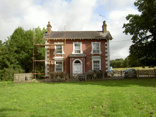 Millbrook Housemiller's house · 1003 yd
 Balregan CastleCastle, tower house · 1707 yd
 MonascreebeMountain / peak · 1.6 mi
 Sky HillMountain / peak · 1.8 mi
 Battle of FaughartMajor battlefield · 2.1 mi
 Forkhill Greenspace PathwayWalking route · 2.4 mi
 Ring of Gullion Way - ForkhillVisitor information · 2.5 mi
 Moyry CastleCastle · 2.7 mi