What is recorded here
Situated at the S edge of a plateau above a steep S-facing slope of the W-E Owenasack river valley. A collapsed section of a Man-made underground passage passage (L c. 4m) is visible c. 60m W of rath (WA034-074----).
The above description is derived from the published 'Archaeological Inventory of County Waterford' (Dublin: Stationery Office, 1999). In certain instances the entries have been revised and updated in the light of recent research.
Revised by: Michael Moore
Date of upload: 06 October 2011
The monument record does not grant public access. Check the route and ask the landowner before entering private land.
- What survives
- Recorded monument
Places near here
 IndicatedFairy fort / earthen ringfort · 194 yd
 Headborough Housefarmyard complex · 455 yd
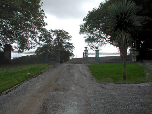 Strancally CastleOfficially recorded historic building · 860 yd
 Burial GroundGraveyard · 1.1 mi
 CastleCastle, tower house · 1.6 mi
 Kilnacarriga Castle (in ruins)Castle, unclassified · 2.0 mi
 Bishopstown WoodForest · 3.1 mi
 LismoreMemorial · 4.8 mi
 Lady Louisa's WalkWalking route · 4.9 mi
 European YewEuropean Yew · 4.9 mi
 Tallow HillMountain / peak · 4.9 mi
 Lismore Castlefarm house · 5.1 mi