What is recorded here
Beneath the northwest edge of the Hazelfort ringfort, two rectangular pits and a distant nettle-filled trench mark a buried passage. Moss still clings to the exposed stones, waiting for someone to pull back the vegetation and test whether the chambers connect. The earth keeps its shape, but the function has slipped into legend.
In NW quadrant of a ringfort (GA086-135001-). What is visible are two contiguous overgrown stony depressions, 1.5m apart, both roughly rectangular in plan. In E depression (N-S 3.4m, E-W 1.5m), which is up to 0.8m in depth, moss-covered stones protrude from N and E sides, while W depression (N-S 4.8m, E-W 3m), 0.3m in depth, is strewn with loose stone. Some 8m to W of the latter is another parallel nettle-filled depression (N-S 5.5m, Wth 3.5m). Possibly also associated.
The above description is derived from the published 'Archaeological Inventory of County Galway Vol. II - North Galway'. Compiled by Olive Alcock, Kathy de hÓra and Paul Gosling (Dublin: Stationery Office, 1999).
Date of upload: 05 August 2010
The monument record does not grant public access. Check the route and ask the landowner before entering private land.
- What survives
- Recorded monument
Places near here
 Mass-rock in Newcastle (aughrim Par.)Mass-rock · 947 yd
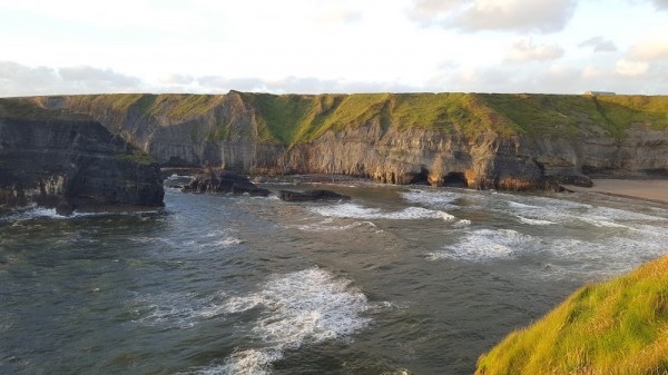 Man-made underground passage in Ballinphuill (killallaghtan Ed)Man-made underground passage · 1378 yd
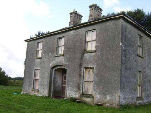 Killaghbeg Househouse · 1471 yd
 IndicatedHouse, 18th/19th century · 1631 yd
 CastleCastle, unclassified · 2.0 mi
 Kilconnell AbbeyHeritage attraction · 2.1 mi
 Site of Lisnamoltaun CastleCastle, unclassified · 2.2 mi
 Oak WoodWood · 2.9 mi
 Battle of Aughrim Interpretative CentreMuseum · 3.4 mi
 Large-leaved LimeLarge-leaved Lime · 3.4 mi
 Battle of AughrimMajor battlefield · 3.7 mi
 The bloody HollowHeritage attraction · 4.0 mi