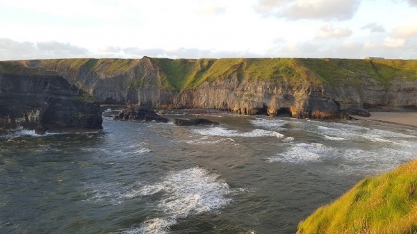
What is recorded here
In E half of a ringfort (GA086-030----). What is visible is a weed and grass-grown subrectangular depression (L 7.2m) running NNW-SSE. It varies in width from 2.1m at NNW end to 4.8m at SSE, and is 1.2m in depth. Some large stones are visible in the depression at mid-point. According to local tradition, there is a 'cave' in the ringfort and this hollow is the result of somebody attempting to gain access to it.
The above description is derived from the published 'Archaeological Inventory of County Galway Vol. II - North Galway'. Compiled by Olive Alcock, Kathy de hÓra and Paul Gosling (Dublin: Stationery Office, 1999).
Date of upload: 05 August 2010
The monument record does not grant public access. Check the route and ask the landowner before entering private land.
- What survives
- Recorded monument
Places near here
 IndicatedHouse, 18th/19th century · 660 yd
 Quarry in BallynacloghQuarry · 714 yd
 Mass-rock in Newcastle (aughrim Par.)Mass-rock · 1493 yd
 Man-made underground passage in BallymabillaMan-made underground passage · 1.3 mi
 CastleCastle, unclassified · 2.0 mi
 Site of Lisnamoltaun CastleCastle, unclassified · 2.1 mi
 Kilconnell AbbeyHeritage attraction · 2.8 mi
 Oak WoodWood · 3.5 mi
 Large-leaved LimeLarge-leaved Lime · 3.5 mi
 Battle of Aughrim Interpretative CentreMuseum · 3.8 mi
 Battle of AughrimMajor battlefield · 4.0 mi
 The bloody HollowHeritage attraction · 4.3 mi
Other information
Photo: Credit not shown in the picture search · Rights wording not checked; contact us if this picture should be removed