
What is recorded here
In tillage, on a N-facing slope. This Man-made underground passage was discovered in 2003 after the ground collapsed during ploughing. The collapse revealed an earth-cut chamber (3.5m E-W; 2.5m N-S; D c. 1m) from which a considerable amount of earth had been removed prior to investigation. This chamber contained two creepways, c. 1.2m apart, leading into two earth-cut chambers. The most westerly chamber (3m NE-SW; 0.9m NW-SE; min. H 1m) has a rounded roof and slopes gently down to the SW. It is partially filled with collapsed earth and its walls appear smoke-blackened. The most easterly chamber (3.5m NE-SW; 0.95m NW-SE; H 1.5m) has an A-shaped roof. It is also partially filled with collapsed earth and its walls appear smoke-blackened. A construction shaft, blocked with stones, was noted at its NE end. (Ryall 2003a)
The above description is derived from 'The Archaeological Inventory of County Cork. Volume 5' (Dublin: Stationery Office, 2009).
Date of upload: 22 December 2009
The monument record does not grant public access. Check the route and ask the landowner before entering private land.
- What survives
- Recorded monument
Places near here
 IndicatedFairy fort / earthen ringfort · 598 yd
 Burial GroundBurial ground · 688 yd
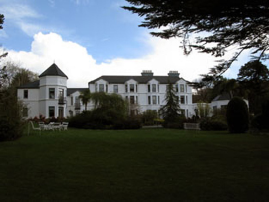 Seaview House Hotelhouse · 813 yd
 Ballylickey BayBay · 962 yd
 Castle (in Ruins)House, fortified house · 1005 yd
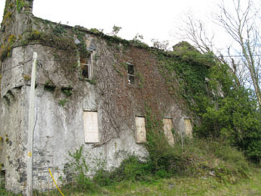 Reendisert Courtcastle/fortified house · 1017 yd
 Eagle PointHeadland · 1.0 mi
 Snave StrandBeach / strand · 1.3 mi
 Chilean myrtleChilean myrtle · 1.6 mi
 Horse IslandIslet · 1.7 mi
 Dawn RedwoodDawn Redwood · 1.7 mi
 Daly's LoopWalking route · 1.8 mi
Other information
Photo: Credit not shown in the picture search · Rights wording not checked; contact us if this picture should be removed