What is recorded here
The 'Fort' and 'Cave' or Man-made underground passage marked on the 1st and 2nd editions of the OS 6-inch maps are no longer visible. A curious slab-built structure close to the blocked-up entrance of the Man-made underground passage still survives but is partly collapsed. In an earlier description (Kin-ahan 1889) it was claimed that this was the above ground entrance to the Man-made underground passage. It gave onto a 2ft square perpendicular shaft which dropped to a 2ft 6in wide and 3ft high passage partly rock-cut and partly stone-walled. This led into a good-sized rectangular rock-cut chamber with a flag-stone roof. These features lay in the S lower half of an irregular shaped rock platform which is located close to good pasture but overlooked by higher ground to the S.
The above description was derived from the 'Archaeological Survey of County Donegal. A description of the field antiquities of the County from the Mesolithic Period to the 17th century.' Compiled by: Brian Lacey with Eamon Cody, Claire Cotter, Judy Cuppage, Noel Dunne, Vincent Hurley, Celie O'Rahilly, Paul Walsh and Seán Ó Nualláin (Lifford: Donegal County Council, 1983). In certain instances the entries have been revised and updated.
Date of upload: 22 September 2008
The monument record does not grant public access. Check the route and ask the landowner before entering private land.
- What survives
- Recorded monument
Places near here
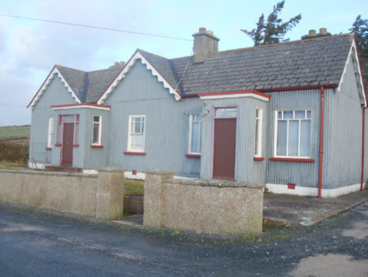 John Morrowhouse · 1104 yd
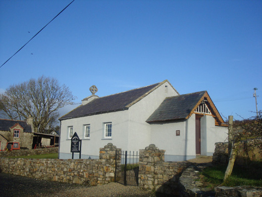 Leat Beg Church (Clondavaddog)church/chapel · 1269 yd
 Enclosure in Clooney (fanad West Ed),gortnamonaEnclosure · 1.4 mi
 Turras DavaddogHoly well · 1.5 mi
 Cnoc na SleáMountain / peak · 2.2 mi
 Rosses StrandBeach / strand · 2.2 mi
 Moross CastleCastle, tower house · 2.4 mi
 The Murder HoleCave · 2.5 mi
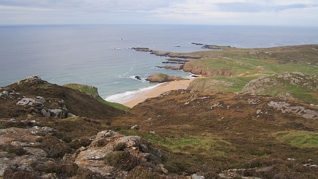 Boyeeghter StrandBeach / strand · 2.5 mi
 Cliffs at Lamb's IslandPublicly named cliff or headland · 3.8 mi
 Cliffs north of DowniesPublicly named cliff or headland · 3.8 mi
 Clonmass IslandIslet · 4.7 mi