
What is recorded here
Death and darkness were the intended fate of the man who entered the hidden passage beneath Glandine. The visible chamber measured only four metres, yet the missing north wall and faint western depression suggested a longer route into the hill. The claimant may have followed that unseen path, become lost in its darkness and paid with his life.
Univallate rath KE037-037---- commands an extensive view from the E slopes of the valley of the Finglas river. A circular hut abuts the outer face of the bank and a now inaccessible Man-made underground passage occurs in the interior.
The Man-made underground passage KE037-037002- which lies immediately inside the E section of the bank is infilled to within .2m of its roof. The collapse or removal of one of the roofing slabs near the S end has revealed a drystone-built passage c. 3.5 to 4m long NNE-SSW and a maximum of 1.1m wide. The S end wall is typically curved, but it is not clear whether the N end is blocked by a wall or by collapse. A breach in the N end of the W wall is visible in the side of a surface depression which extends .6m to W. This may mark the location of a 2nd passage as suggested by Browne et al. At the time of their visit the interior was densely overgrown, as it is today, but a bare track leading from this point to the bank at W may have been due to the presence of the roofing slabs of a Man-made underground passage passage a little below the surface. A subsidiary passage was similarly marked on the N side. One of the openings to the visible passage was at that time marked by a porthole slab.
The above description is derived from J. Cuppage, ‘Corca Dhuibhne. Dingle Peninsula archaeological survey. Ballyferriter. Oidhreacht Chorca Dhuibhne’ (1986), no. 431. In certain instances the entries have been revised and updated in the light of recent research.
Date of upload: 7 August 2013
The monument record does not grant public access. Check the route and ask the landowner before entering private land.
- What survives
- Recorded monument
Places near here
 LisparkeenreillyArchaeological place · 315 yd
 CastleCastle, unclassified · 362 yd
 Church in CurracullenaghChurch · 520 yd
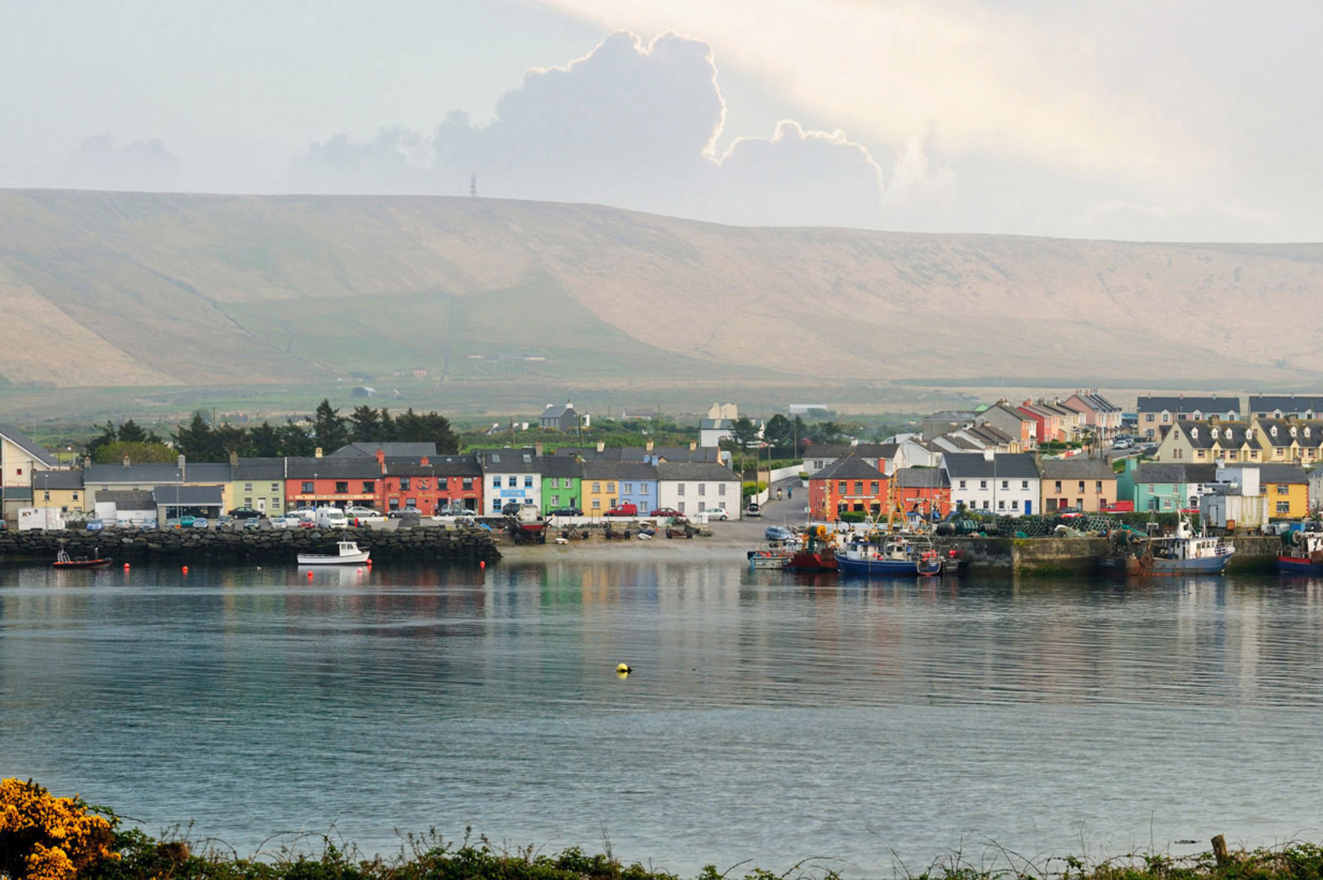 LisnaheirkaArchaeological place · 548 yd
 Faisr's GraveArchaeological place · 668 yd
 bridgebridge · 747 yd
 Site of Camp CastleCastle, unclassified · 827 yd
 CorrinMountain / peak · 1.3 mi
 Graveyard in Baile An Chnocáin (tc An Cnoc Glas)Graveyard · 1.4 mi
 GearhaneMountain / peak · 1.8 mi
 Samphire Island LittleIslet · 3.9 mi
 Derrymore Island Nature ReserveNature reserve · 4.0 mi
Other information
Photo: Credit not shown in the picture search · Rights wording not checked; contact us if this picture should be removed