What is recorded here
In pasture, on a S-facing slope. According to local information, a Man-made underground passage with drystone walls was discovered when a lintel was accidentally broken during land reclamation works. It was subsequently closed up for safety reasons and there are now no visible remains of it.
The above description is derived from 'The Archaeological Inventory of County Cork. Volume 5' (Dublin: Stationery Office, 2009).
Date of upload: 22 December 2009
The monument record does not grant public access. Check the route and ask the landowner before entering private land.
- What survives
- Recorded monument
Places near here
 Field boundary in Glanbannoo UpperField boundary · 1299 yd
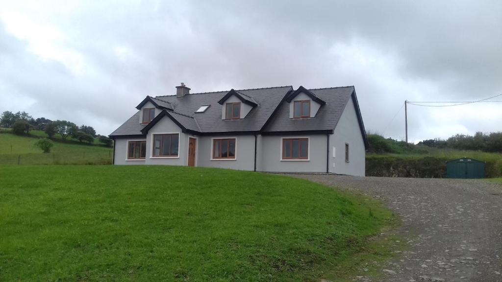 Enclosure in Glanbannoo UpperEnclosure · 1443 yd
 Francis O'Neill PlaqueMemorial · 1.0 mi
 Clapper bridge in Derryginagh EastClapper bridge · 1.5 mi
 Dromore Schoolschool · 1.9 mi
 Trawlebane WalkWalking route · 2.1 mi
 Mullach MéiseMountain / peak · 2.2 mi
 Baugorm Castle (Site of)Castle, unclassified · 2.3 mi
 Castle DonovanCastle · 3.1 mi
 Delish Cascade WalkWalking route · 3.5 mi
 Graveyard in TownlotsGraveyard · 4.0 mi
 Kealkill stone circleVisitor information · 4.1 mi