What is recorded here
Located towards the bottom of a S-facing slope. A Man-made underground passage was discovered and backfilled c. 1920. It was re-opened in the early 1970s when the base of an oval chamber (dims. c. 2.4m x 2.1m; D 1.8m) was discovered surviving to two courses (H c. 0.8m), with destroyed entrance passages extending from it to the E and NW. (Kealy and Ryan 1973)
Kealy, P. and Ryan, J. (1973) Man-made underground passage at Garryvoone, Co. Waterford. Old Kilkenny Review 25, 65-7.
The above description is derived from the published 'Archaeological Inventory of County Waterford' (Dublin: Stationery Office, 1999). In certain instances the entries have been revised and updated in the light of recent research.
Date of upload/revision: 23 December 2008
The monument record does not grant public access. Check the route and ask the landowner before entering private land.
- What survives
- Recorded monument
Places near here
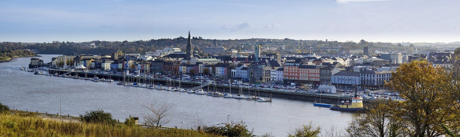 Not idicatedFulacht fia · 651 yd
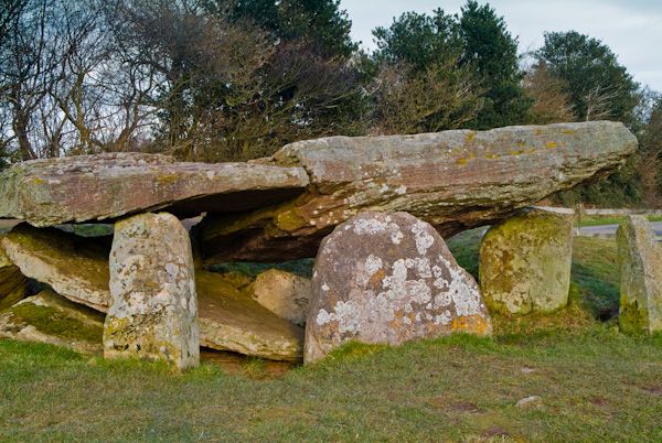 Cromlech (Site of)Megalithic structure · 1298 yd
 CarrigfenoaghMountain / peak · 1343 yd
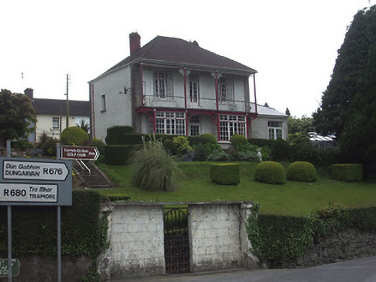 Riverview Househouse · 1596 yd
 Dillon Bridgebridge · 1701 yd
 CastleCastle, Anglo-Norman masonry castle · 1.0 mi
 Ormonde CastleHeritage attraction · 1.0 mi
 Tower HillMountain / peak · 2.5 mi
 Coolnamuck Castke (in Ruins)Castle, tower house · 2.6 mi
 Tower Hill WoodWood · 2.7 mi
 Coolnamuck Wood WestForest · 3.2 mi
 Thomas KielyMemorial · 4.1 mi