
What is recorded here
Farranamanagh Lough still laps the promontory where underground chambers once opened, though soil and forgetting have buried the entrance. Local tradition preserves the shape of the loss: a man-made passage beneath the water’s edge, now invisible and impossible to point at. The lake keeps what the land released, turning a forgotten structure into a rumour that moves when the wind changes.
On promontory extending into Farranamanagh Lough. Local tradition of underground chambers; now filled in. No visible surface trace.
The above description is derived from the published 'Archaeological Inventory of County Cork. Volume 1: West Cork' (Dublin: Stationery Office, 1992). In certain instances the entries have been revised and updated in the light of recent research.
Date of upload/revision: 14 January 2009
The monument record does not grant public access. Check the route and ask the landowner before entering private land.
- What survives
- Recorded monument
Places near here
 Farranamanagh Loop WalkWalking route · 561 yd
 IndicatedFairy fort / stone ringfort · 714 yd
 Nora DaltonMemorial · 882 yd
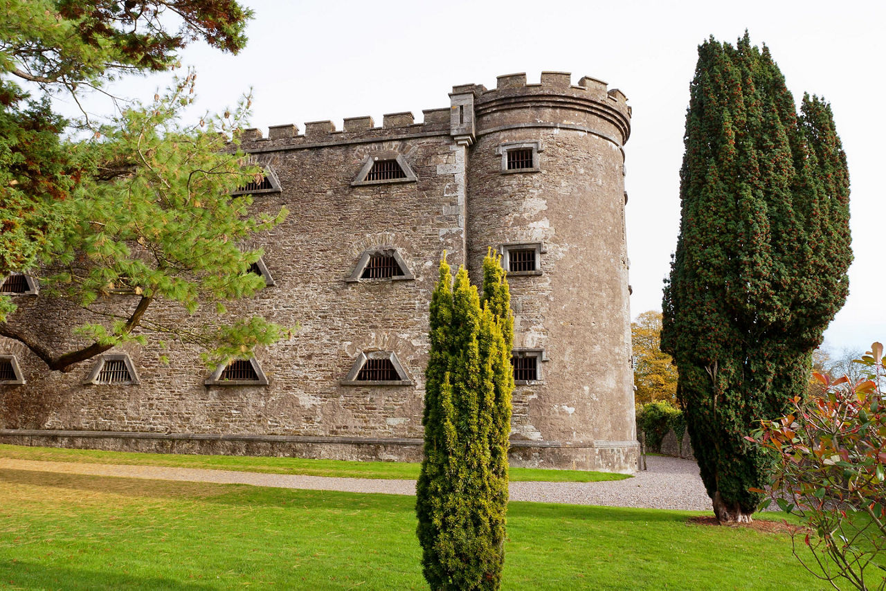 Man-made underground passage in KilcrohaneMan-made underground passage · 923 yd
 Stone RowHeritage attraction · 931 yd
 Kilcrohane Ch(in rns)Church · 967 yd
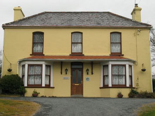 Bridge View Househouse · 1019 yd
 Funeral path loopWalking route · 1533 yd
 SeefinMountain / peak · 1.3 mi
 Finn McCool's SeatViewpoint · 1.4 mi
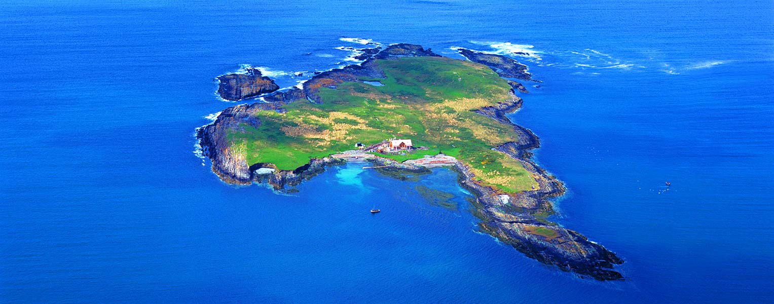 Carbery IslandIslet · 1.5 mi
 Rosskerrig MountainMountain / peak · 1.5 mi
Other information
Photo: Credit not shown in the picture search · Rights wording not checked; contact us if this picture should be removed