What is recorded here
Underground in Edenakill, a collapsed passage once cut through a destroyed fort. Local memory still points to it as a hidden route beneath the ground, perhaps used in bad weather or at night. The earth has taken it back, but the shape of the story remains: people built a way downward when the sky closed.
The following description is derived from both the published 'Archaeological Inventory of County Louth' (Dublin: Stationery Office, 1986) and the 'Archaeological Survey of County Louth' (Dublin: Stationery Office, 1991). In certain instances the entries have been revised and updated in the light of recent research.
Date of upload/revision: 17 July 2007
Local tradition of a collapsed Man-made underground passage in the destroyed 'fort' (LH003-010001-).
The monument record does not grant public access. Check the route and ask the landowner before entering private land.
- What survives
- Recorded monument
Places near here
 IndicatedFairy fort / earthen ringfort · 302 yd
 Roche CastleCastle, Anglo-Norman masonry castle · 1500 yd
 Enclosure in Roche (dundalk Upr By; Roche Par.)Enclosure · 1.0 mi
 Bawn in Shortstone EastBawn · 1.0 mi
 Ballsmill Amenity LandPicnic place · 1.1 mi
 Sky HillMountain / peak · 1.3 mi
 Slieve Cottagefarm house · 1.4 mi
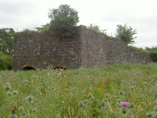 kilnkiln · 1.4 mi
 CroslieveMountain / peak · 3.0 mi
 Mass Rock Loop TrailWalking route · 3.0 mi
 Forkhill Greenspace PathwayWalking route · 3.1 mi
 Ring of Gullion Way - ForkhillVisitor information · 3.3 mi