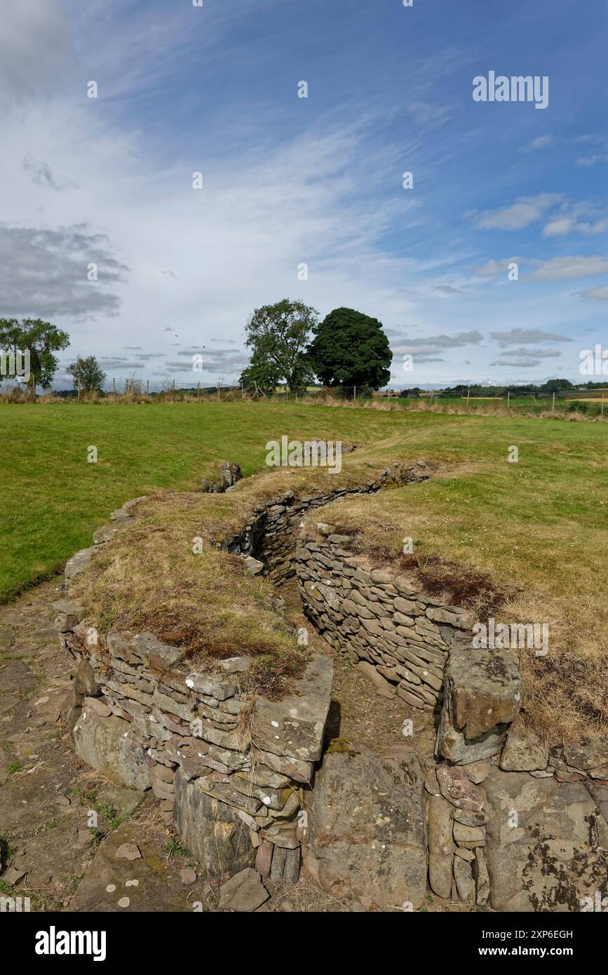
What is recorded here
Situated on a ridge, in undulating, hilly pasture. Monument not depicted on any OS historic maps. Described in 1984 as the entrance to a Man-made underground passage which has been blocked up. The location would have been suitable for a ringfort. Man-made underground passage not visible on Digital Globe aerial photography.
Compiled by: Alison McQueen, Vera Rahilly and Caimin O’Brien
Date of upload: 20 December 2018
The monument record does not grant public access. Check the route and ask the landowner before entering private land.
- What survives
- Recorded monument
Places near here
 Duneel CastleCastle, tower house · 323 yd
 Site of Doon CastleCastle, ringwork · 1044 yd
 The Mansemanse · 1500 yd
 IndicatedFairy fort / earthen ringfort · 1565 yd
 mill (water)mill (water) · 1619 yd
 Corran IslandIslet · 1.5 mi
 European ashEuropean ash · 2.7 mi
 Sessile OakSessile Oak · 3.1 mi
 Hill of UisneachMountain / peak · 3.3 mi
 Craft WorkshopHeritage attraction · 4.5 mi
 Guest ServicesVisitor information · 4.5 mi
Other information
Photo: Credit not shown in the picture search · Rights wording not checked; contact us if this picture should be removed