
What is recorded here
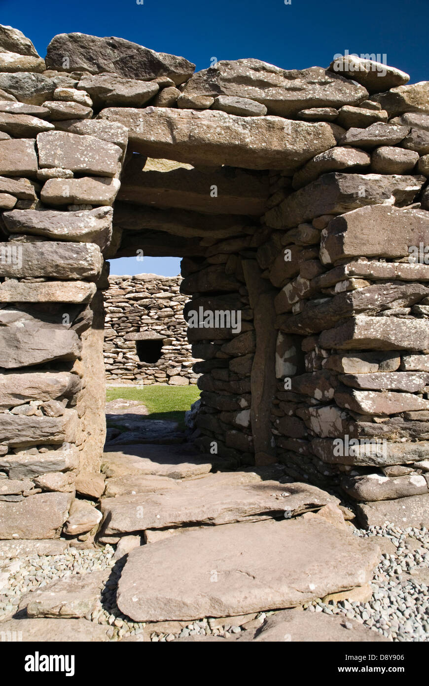
Dún Na Manach is a circular earthwork with two narrow stone passages beneath it, set on a south-facing slope above Dingle Bay in County Kerry. The first chamber has a sloping floor and a low gap at its north end; a creepway then leads into a second passage that turns south before becoming blocked. The site may have served as a hidden refuge, a boundary marker or a place for ritual, but its exact purpose has not survived. What remains is a small dark structure built with care, waiting beneath an ancient bank to be imagined rather than explained.
Internal diam. 22.8m
A circular univallate rath and Man-made underground passage situated on a slight S facing slope overlooking Dingle Bay. The earthen enclosing bank reaches a maximum height of 2m at SW. In the E quadrant, the bank has been replaced by a later field wall. The gaps at NE and S appear to be secondary features, and a 3rd gap at NW may be the original entrance; it is 1.5m wide.
The entrance to the Man-made underground passage lies directly inside the bank at N and gives access to 2 passages, linked by a short creepway. Passage 1 measures 3m N-S x 1m E-W x a maximum of .8m in height. The walls are constructed of low upright stones overlain by drystone masonry and the roof is formed by 6 large slabs. The floor slopes upwards towards the entrance gap which spans the width of the N end of the passage and is .32m high. The entrance to the 2nd passage occurs in the S wall of passage 1 and consists of a short creepway, defined on either side by an upright slab and roofed by a single lintel. It is .5m wide and .5m high. Passage 2 extends SW for c. 2m and then turns S for at least 1.5m before being blocked by fill. Apart from 2 upright slabs in the E wall, the wall is entirely of drystone construction, and the passage is roofed by 7 slabs at a maximum height of .65m above the floor.
The above description is derived from J. Cuppage, ‘Corca Dhuibhne. Dingle Peninsula archaeological survey. Ballyferriter. Oidhreacht Chorca Dhuibhne’ (1986), no. 392. In certain instances the entries have been revised and updated in the light of recent research.
Date of upload: 13 August 2013
The monument record does not grant public access. Check the route and ask the landowner before entering private land.
- What survives
- Recorded monument
Places near here
 Promontory fortPromontory fort, coastal · 452 yd
 Wedge tomb in Dún Na ManachWedge tomb · 717 yd
 Cnoc an GhleannaMountain / peak · 1.1 mi
 Lispole Ambush MonumentWayside cross · 1.4 mi
 Séipéal Eoin Baiste [Catholic Church of Saint John the Baptist]church/chapel · 1.4 mi
 Kilmurry Church (in ruins)Church · 1.4 mi
 Tobar EoinSpring · 1.5 mi
 Caisleán na Mine AirdeCastle · 1.6 mi
 Minard Castle (in ruins)Castle, tower house · 1.6 mi
 CarrigavinnaunNamed rock · 1.9 mi
 Acres PointHeadland · 2.2 mi
 Cruach SceirdeMountain / peak · 3.3 mi
Other information
Photo: Credit not shown in the picture search · Rights wording not checked; contact us if this picture should be removed