What is recorded here
Six metres wide and forty-five metres long, the fort forces every visitor to walk a knife-edge between cliffs and Dingle Bay. Its narrow neck still holds a deep rectangular cut, proving that people wanted to control who entered this small strip of land. The sea finished the defences on three sides, leaving human hands to build only the last barrier.
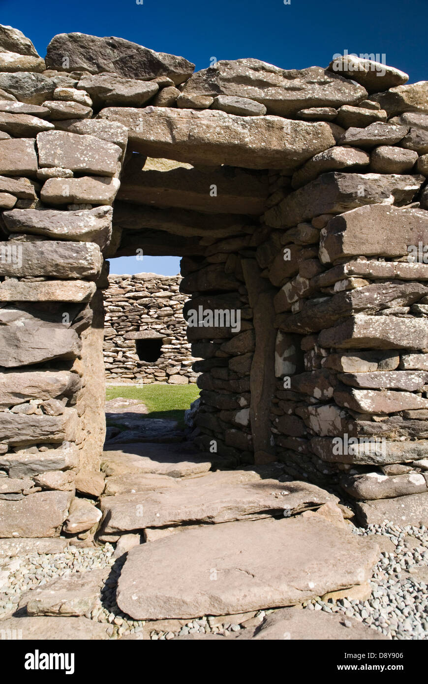
This small promontory juts W into Dingle Bay between Minard Head and Bull's Head. It is a maximum of 45m long and, for 34m from the landward end, is only 6m wide. Beyond this the N side projects slightly increasing the width to a maximum of 9.5m. About 8m from the landward end an impressive fosse spans the narrow neck. The base of this consists of a regular channel, rectangular in section, which measures 1.4m wide x 1.2m deep. From here the width of the fosse gradually increases to 11m at a height of 8m above the bottom. The S end has been partly backfilled to create the c. 3m long causeway which provides access to the interior. The only internal features are 2 depressions, 1m in diameter and less than .5m deep, and, midway along the N side, a 1m high mound which extends 2m S from the cliff edge.
The above description is derived from J. Cuppage, ‘Corca Dhuibhne. Dingle Peninsula archaeological survey. Ballyferriter. Oidhreacht Chorca Dhuibhne’ (1986), no. 269. In certain instances the entries have been revised and updated in the light of recent research.
Date of upload: 4 August 2013
The monument record does not grant public access. Check the route and ask the landowner before entering private land.
- What survives
- Recorded monument
Places near here
 Man-made underground passage in Dún Na ManachMan-made underground passage · 452 yd
 Man-made underground passage in An Mhín Aird ThiarMan-made underground passage · 636 yd
 Cnoc an GhleannaMountain / peak · 1.1 mi
 Kilmurry Church (in ruins)Church · 1.5 mi
 Tobar EoinSpring · 1.6 mi
 Lispole Ambush MonumentWayside cross · 1.6 mi
 Caisleán na Mine AirdeCastle · 1.6 mi
 Minard Castle (in ruins)Castle, tower house · 1.6 mi
 Country house in Arda Mór (tc Cinn Aird)Country house · 1.7 mi
 CarrigavinnaunNamed rock · 1.9 mi
 Acres PointHeadland · 2.2 mi
 Cruach SceirdeMountain / peak · 3.6 mi
Other information
Photo: Credit not shown in the picture search · Rights wording not checked; contact us if this picture should be removed