What is recorded here
Within the N half of a rath (LF019-077001-). A report in 1976 (SMR file) recorded an opening to a collapsed Man-made underground passage that was filled up with bushes, briars, stones and other debris. It was located to the NW of a possible house (LF019-077003-) and to the N of another possible house (LF019-077004-). It is no longer visible at ground level.
Compiled by: Patrick F. O'Donovan
Date of upload: 5 September 2012
The monument record does not grant public access. Check the route and ask the landowner before entering private land.
- What survives
- Recorded monument
Places near here
 FortsFairy fort / earthen ringfort · 568 yd
 Druming Ho. (in ruins)Castle, unclassified · 672 yd
 Ritual siteRitual site, holy tree/bush · 744 yd
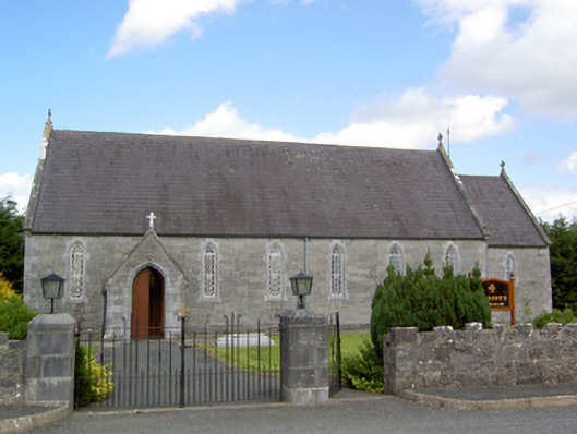 Saint Anne's Catholic Churchchurch/chapel · 805 yd
 gates/railings/wallsgates/railings/walls · 1260 yd
 Ardagh DemesneFort · 1.2 mi
 National Famine WayWalking route · 2.7 mi
 Graveyard in Curry (ardagh By., Coolamber Ed)Graveyard · 5.6 mi
 First World War MemorialMemorial · 6.4 mi
 Saint Mel's CathedralCathedral · 6.4 mi
 Leveret IslandIslet · 11 mi
 Granard MotteMotte-and-bailey castle remains · 12 mi