What is recorded here
Doogary holds a collapsed underground passage beneath a rath, its L-shaped shadow stretching nineteen metres through grass and soil. Stones still protrude along the buried route, marking the angle where the pass turned inward. The structure may have served the rath as a hidden way, a storage trench or a passage for people moving through darkness. Whatever it was, the earth has swallowed the chamber and left only a narrow groove for memory to follow.
Located in the NE quadrant of a rath (MA081-007001-).
An L-shaped depression (Wth 2.8m; D 0.5m) extends NNW–SSE for 9m along the NNE edge of the rath platform. At its SSE end it takes a right angled turn to SSW, narrowing slightly (Wth1.8m) as it extends for 8m through the rath interior. Stones protrude randomly from the sod along the length of the depression. It may be a collapsed Man-made underground passage passage.
Compiled by: Jane O’Shaughnessy
Date of upload: 7 December 2021
The monument record does not grant public access. Check the route and ask the landowner before entering private land.
- What survives
- Recorded monument
Places near here
 Derrymeel FortFairy fort / earthen ringfort · 15 yd
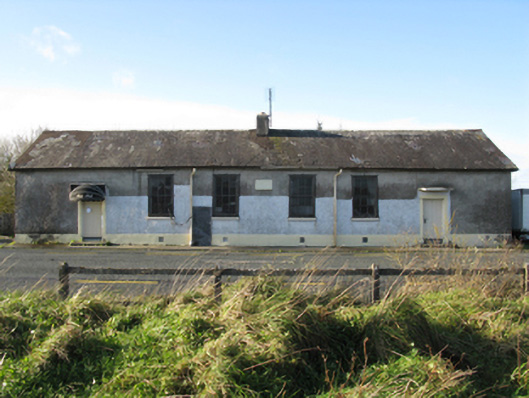 Doogary National Schoolschool · 301 yd
 IndicatedEnclosure · 1275 yd
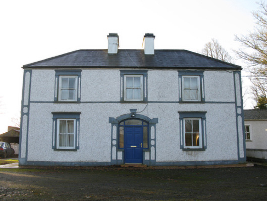 farm housefarm house · 1278 yd
 East Mayo Brigade MonumentMemorial · 1.4 mi
 Rath Castle in ruinsCastle, tower house · 1.7 mi
 CastleCastle, unclassified · 2.4 mi
 Knock ShrineHeritage attraction · 4.2 mi
 Knock MuseumMuseum · 4.2 mi
 I'll Send You The FareMemorial · 5.7 mi
 Thorn CaveCave · 6.1 mi
 Bawn IslandIslet · 18 mi