
What is recorded here
In a rath (KE102-007----). According to local information, an entrance to an underground passage and 'rooms', roofed over with stone flags, is located in the S half of the interior of the rath. There are no visible remains of this possible Man-made underground passage.
The above description is derived from the published 'Archaeological Inventory of County Kerry. Volume I: South-West Kerry' (Dublin: Stationery Office, 2009). In certain instances the entries have been revised and updated in the light of recent research.
Date of upload: 30 May 2011
This remains an important historical record, but the official description says the monument is no longer visible or has been destroyed. The monument record does not grant public access. Check the route and ask the landowner before entering private land.
- What survives
- No visible remains or recorded as destroyed
Places near here
 SheepfoldHut site · 1093 yd
 CrannogHeritage attraction · 1287 yd
 BeneenMountain / peak · 1351 yd
 Bonane Heritage ParkMuseum · 1426 yd
 Dromagorteen Br.Bridge · 1428 yd
 Glashagarriv Br.Bridge · 1497 yd
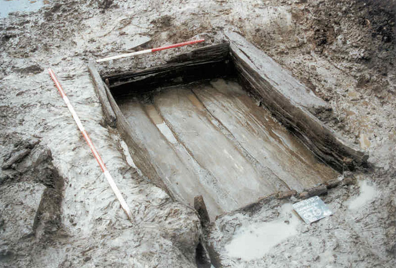 Fulacht FiadhArchaeological place · 1681 yd
 DerrynacaheraghMountain / peak · 2.0 mi
 CastleCastle, unclassified · 3.0 mi
 Mucksna Nature ReserveNature reserve · 3.3 mi
 Monterey PineMonterey Pine · 3.4 mi
 Kenmare Heritage Town - Main StreetMemorial · 3.6 mi
Other information
Photo: Credit not shown in the picture search · Rights wording not checked; contact us if this picture should be removed