
What is recorded here
The following description is derived from both the published 'Archaeological Inventory of County Louth' (Dublin: Stationery Office, 1986) and the 'Archaeological Survey of County Louth' (Dublin: Stationery Office, 1991). In certain instances the entries have been revised and updated in the light of recent research.
Date of upload/revision: 17 July 2007
Discovered during construction work in 1981. The Man-made underground passage was drystone-built throughout and was roughly L-shaped in plan. Modern access to the Man-made underground passage was through a gap at the junction of two passages owing to a displaced lintel. Passage 1 (L 6m, Wth c. 1-1.6m, H 1.3m) extended E-W with a slight widening at the W end giving a chamber effect. At the E end of Passage 1, a second passage (L 5.1m, Wth c. 1-1.2m, H 1.2m) curved N-S, with a slight widening at the S end. No ancillary features were noted during investigation. Now inaccessible. (CLAJ 1982, 156)
The monument record does not grant public access. Check the route and ask the landowner before entering private land.
- What survives
- Recorded monument
Places near here
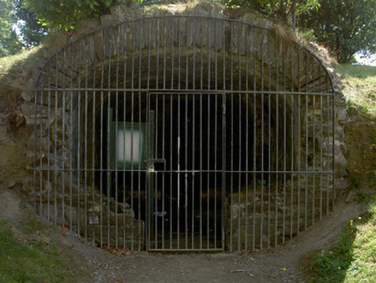 Ice House Hill Parkicehouse · 158 yd
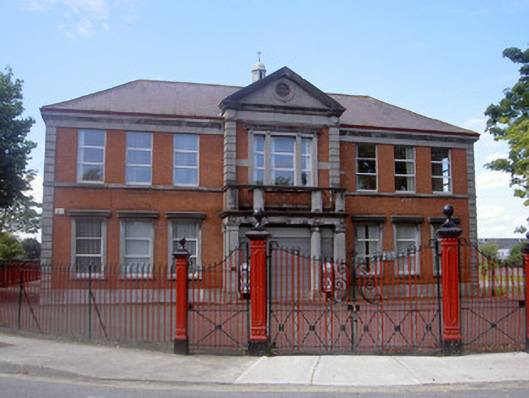 Saint Patrick's Parochial Hall and Magnet Cinemacinema · 417 yd
 Dundalk CentralHeritage attraction · 467 yd
 Maid of ErinMemorial · 540 yd
 Photo GalleryHeritage attraction · 541 yd
 Bombing 1975Memorial · 592 yd
 CastleCastle, tower house · 607 yd
 caveMan-made underground passage · 608 yd
 Font in Townparks (upper Dundalk By.)Font · 670 yd
 Castletown MotteArchaeological place · 1.0 mi
 Soldiers' PointHeadland · 2.5 mi
 Battle of FaughartMajor battlefield · 2.8 mi
Other information
Photo: Credit not shown in the picture search · Rights wording not checked; contact us if this picture should be removed