What is recorded here
Boithrín Caol hides a man-made passage beneath Curravordy, partly closed by loose stones and without visible surface trace. The narrow lane suggests people once cut or dug through living rock, perhaps to keep dry in storm or secret in danger. Whatever the purpose, the earth swallowed the entrance while the lane preserved its name.
Tradition of underground passage "in a lane known as Boithrín Caol"; partly closed by loose stones (Ó Ríordáin 1931, 60). No visible surface trace.
The above description is derived from the published 'Archaeological Inventory of County Cork. Volume 1: West Cork' (Dublin: Stationery Office, 1992). In certain instances the entries have been revised and updated in the light of recent research.
Date of upload/revision: 14 January 2009
The monument record does not grant public access. Check the route and ask the landowner before entering private land.
- What survives
- Recorded monument
Places near here
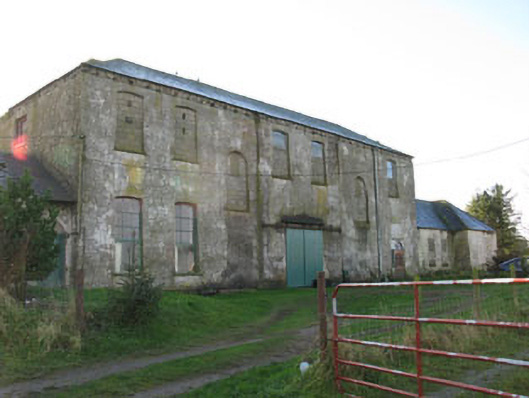 Mount Pleasantcountry house · 970 yd
 Mount Pleasant Schoolschool · 983 yd
 LisnabanreeFairy fort / earthen ringfort · 1593 yd
 Mount Pleasant WoodWood · 1614 yd
 Towers (in Ruins)House, fortified house · 1680 yd
 Man-made underground passage in Kilbarry (kinalmeaky By.)Man-made underground passage · 1.1 mi
 Michael Collins MemorialMemorial · 2.8 mi
 Cottage Road WoodWood · 3.4 mi
 Clodah CastleCastle · 3.9 mi
 Bandon War MemorialMemorial · 4.3 mi
 Green HillMountain / peak · 4.3 mi
 Independence MuseumMuseum · 5.0 mi