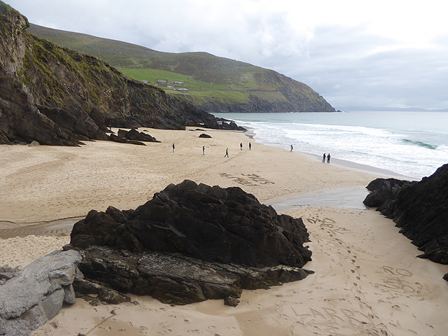
What is recorded here
Closed steps and a slab-roofed tunnel still lie beneath the rath at Cummeenboy. The entrance has filled with earth, but the narrow depression in the centre preserves the shape of the descent. Whoever cut that passage made it for walking, not for display, and the land remembers the route even when the surface has forgotten it.
In a rath (KE084-020----). According to local information, a concave depression (Wth 1m; D 0.4m) in the centre of the rath marks the closed-up entrance to a Man-made underground passage. The landowner described stone steps leading down to an earth-cut passage, roofed with stone slabs and extending in an E-W direction.
The above description is derived from the published 'Archaeological Inventory of County Kerry. Volume I: South-West Kerry' (Dublin: Stationery Office, 2009). In certain instances the entries have been revised and updated in the light of recent research.
Date of upload: 30 May 2011
The monument record does not grant public access. Check the route and ask the landowner before entering private land.
- What survives
- Recorded monument
Places near here
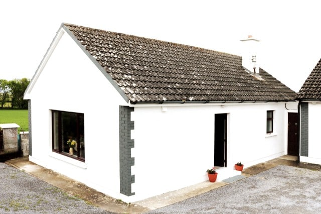 Hut site in CummeenboyHut site · 538 yd
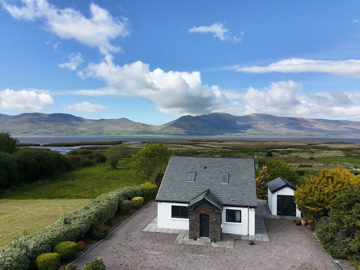 IndicatedFairy fort / earthen ringfort · 736 yd
 CoombaneMountain / peak · 1.0 mi
 KnockanaguishMountain / peak · 1.4 mi
 Shanagarry Castle (Site of)Castle, unclassified · 1.7 mi
 Lead Mine (Disused).Mine, lead · 1.8 mi
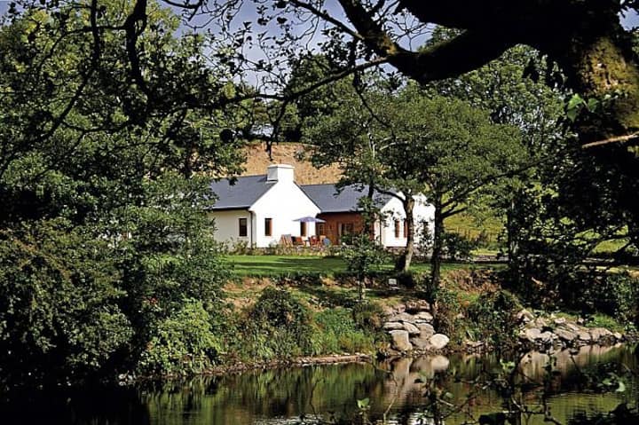 Roughty LodgeCountry house · 2.2 mi
 CastleCastle, unclassified · 2.5 mi
 The Lodge WoodWood · 2.8 mi
 Kenmare Tourist Information OfficeVisitor information · 2.9 mi
 Monterey CypressMonterey Cypress · 2.9 mi
 Kenmare Heritage Town - Main StreetMemorial · 2.9 mi
Other information
Photo: Credit not shown in the picture search · Rights wording not checked; contact us if this picture should be removed