What is recorded here
In the S half of a cashel (SL040-125001-). A rectangular depression (5.6m NE-SW; 2.8m NW-SE; D 0.4m at SE, 0.7m at NW) is evident 6m SSE of another possible Man-made underground passage (SL040-125002-). A few stones are evident protruding from the SE side of this depression.
The above description is derived from the published 'Archaeological Inventory of County Sligo' compiled by Ursula Egan, Elizabeth Byrne, Mary Sleeman with Sheila Ronan and Connie Murphy (Dublin Stationery Office, 2005).
Date of upload: 18 January 2008
The monument record does not grant public access. Check the route and ask the landowner before entering private land.
- What survives
- Recorded monument
Places near here
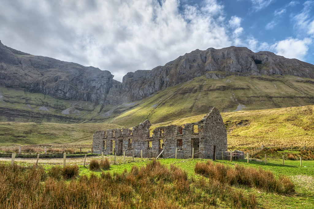 Indicated (1838).Fairy fort / stone ringfort · 432 yd
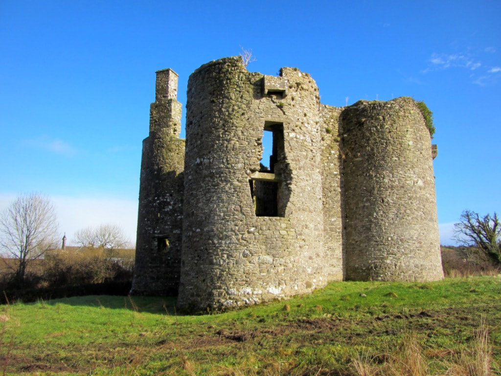 Enclosure in Cuilsheeghary BegEnclosure · 720 yd
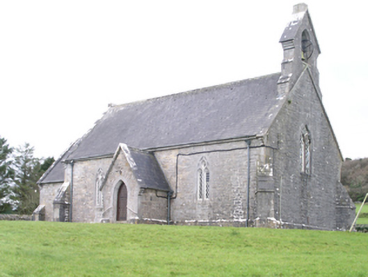 Aghanagh Churchchurch/chapel · 729 yd
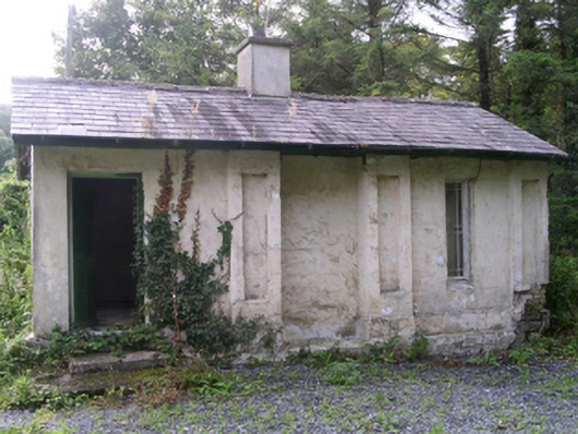 Hollybrook Housegate lodge · 808 yd
 Carricknahorna EastMountain / peak · 1665 yd
 Ballinafad CastleCastle · 1.2 mi
 Muck IslandIslet · 1.3 mi
 Bricklieve MountainsMountain / peak · 1.5 mi
 MoatCastle, motte · 2.0 mi
 Loughbrick BayBay · 2.1 mi
 Treanscrabbagh caveCave · 2.1 mi
 InishmoreIslet · 2.1 mi