What is recorded here
Man-made underground passage in Cuilsheeghary Beg is a man-made underground passage in Cuilsheeghary Beg, County Sligo, Ireland. The roofless drystone passage stretches 7 to 8 metres east-west inside the south-east quadrant of a cashel. Its west half sinks below ground as a pit, while its east half rises above the lower ground because a stone bank builds up the outer wall. Overgrowth and woody debris still fill the base, hiding the true depth.
In the SE quadrant of a cashel (SL040-162----), straddling a N−S stony scarp/internal division, which marks a drop in interior ground level in the E half of the cashel.
The visible remains consist of a roofless passage (L c. 7-8m E−W; Wth 0.8m at W end, c. 1.4m at E end; D 0.5m) of drystone construction. The W half of the passage (L 4-4.5m) is evident as a sunken pit faced with drystone walling; the wall face on the N side is relatively intact, but on the S side sections have slumped or collapsed. The extreme W end of the passage is poorly defined, with just a few stones protruding at surface level: it appears to be partly infilled with soil, or perhaps slopes up at this end. The E half of the passage projects to E of the N−S internal division/scarp which extends across the cashel interior. Here, the external face of the walls are built up with a stone bank to compensate for the drop in ground level, so that instead of being sunken, this end of the passage appears raised above interior ground level.
The Man-made underground passage is thickly engulfed in overgrowth, and difficult to examine in detail. The original depth of the passage is uncertain as the base is filled with woody debris.
Attached images:
SL040-162001-_01: Man-made underground passage viewed from NW
SL040-162002-_02: Stone facing on N side of roofless passage
Compiled by: Jane O’Shaughnessy
Date of upload: 5 October 2018
The monument record does not grant public access. Check the route and ask the landowner before entering private land.
- What survives
- Recorded monument
Places near here
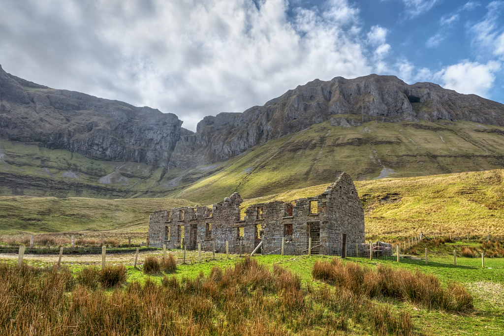 Indicated (1838).Fairy fort / stone ringfort · 11 yd
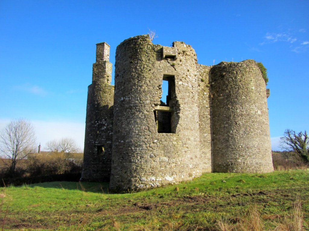 Enclosure in Cuilsheeghary BegEnclosure · 297 yd
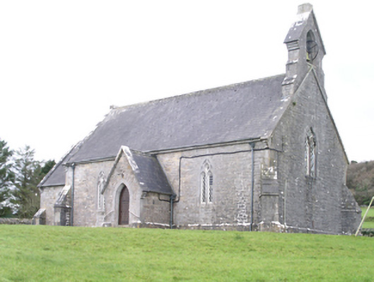 Aghanagh Churchchurch/chapel · 1131 yd
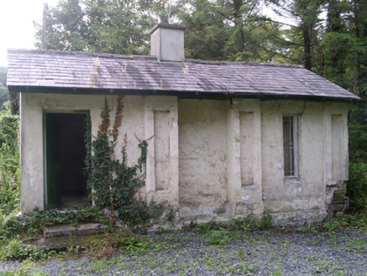 Hollybrook Housegate lodge · 1157 yd
 Ballinafad CastleCastle · 1721 yd
 Carricknahorna EastMountain / peak · 1.0 mi
 Muck IslandIslet · 1.4 mi
 Bricklieve MountainsMountain / peak · 1.7 mi
 MoatCastle, motte · 2.0 mi
 Treanscrabbagh caveCave · 2.2 mi
 Loughbrick BayBay · 2.2 mi
 InishmoreIslet · 2.3 mi