What is recorded here
Situated on a rise in an undulating landscape, and it is open on the scarp of rath (ME009-038001-) at NNE. The modern opening enters a collapsed circular chamber (diam. 1.7m; max. H 1m) with corbelling walls closed by a single slab. A passage (Wth 0.7m) extends SW (L 1.2m) before it is blocked by collapse. A narrow entrance (Wth 0.7m) at N leads from the chamber to another passage (L 3.8m; Wth 1.6m; max. H 1.4m), roofed with four lintels. This passage extends NW before turning W (Wth 1.1m; L 1.7m) to what was probably the original entrance. (Rotheram 1893, 309)
The above description is derived from the published 'Archaeological Inventory of County Meath' (Dublin: Stationery Office, 1987). In certain instances the entries have been revised and updated in the light of recent research.
Compiled by: Michael Moore
Date of revision: 31 October 2018
The monument record does not grant public access. Check the route and ask the landowner before entering private land.
- What survives
- Recorded monument
Places near here
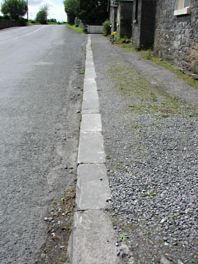 cobbles/flags/paving/kerbingcobbles/flags/paving/kerbing · 340 yd
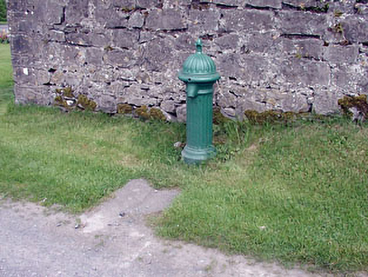 water pumpwater pump · 384 yd
 Enclosure in Crossdrum UpperEnclosure · 1169 yd
 Enclosure in TubrideEnclosure · 1613 yd
 Mount FortuneMountain / peak · 1.1 mi
 Memorial CrossMemorial · 1.2 mi
 MoatCastle, motte · 1.4 mi
 Zip WireHeritage attraction · 1.4 mi
 CastleCastle, unclassified · 1.5 mi
 European YewEuropean Yew · 1.5 mi
 Common LimeCommon Lime · 1.5 mi
 C11Named rock · 1.6 mi