What is recorded here
Situated on a rise, in a scrubby area of pasture, with commanding views of the surrounding landscape. Not depicted on OS mapping. In the S quadrant of enclosure (WM030-009002-) surrounding Creeve Castle (WM030-009001-) is a depression (H 0.6m; Wth 1.5m) which represents the entrance into a Man-made underground passage. The walls are built of drystone and they incline towards the roof which is constructed of large lintels. The bank of the earthwork has been disturbed at S, where a large lintel can be seen projecting from the bank. Monument is obscured today by scrub on Digital Globe aerial photography.
Compiled by Alison McQueen, Vera Rahilly and Caimin O’Brien.
Date of upload: 07 November 2019
The monument record does not grant public access. Check the route and ask the landowner before entering private land.
- What survives
- Recorded monument
Places near here
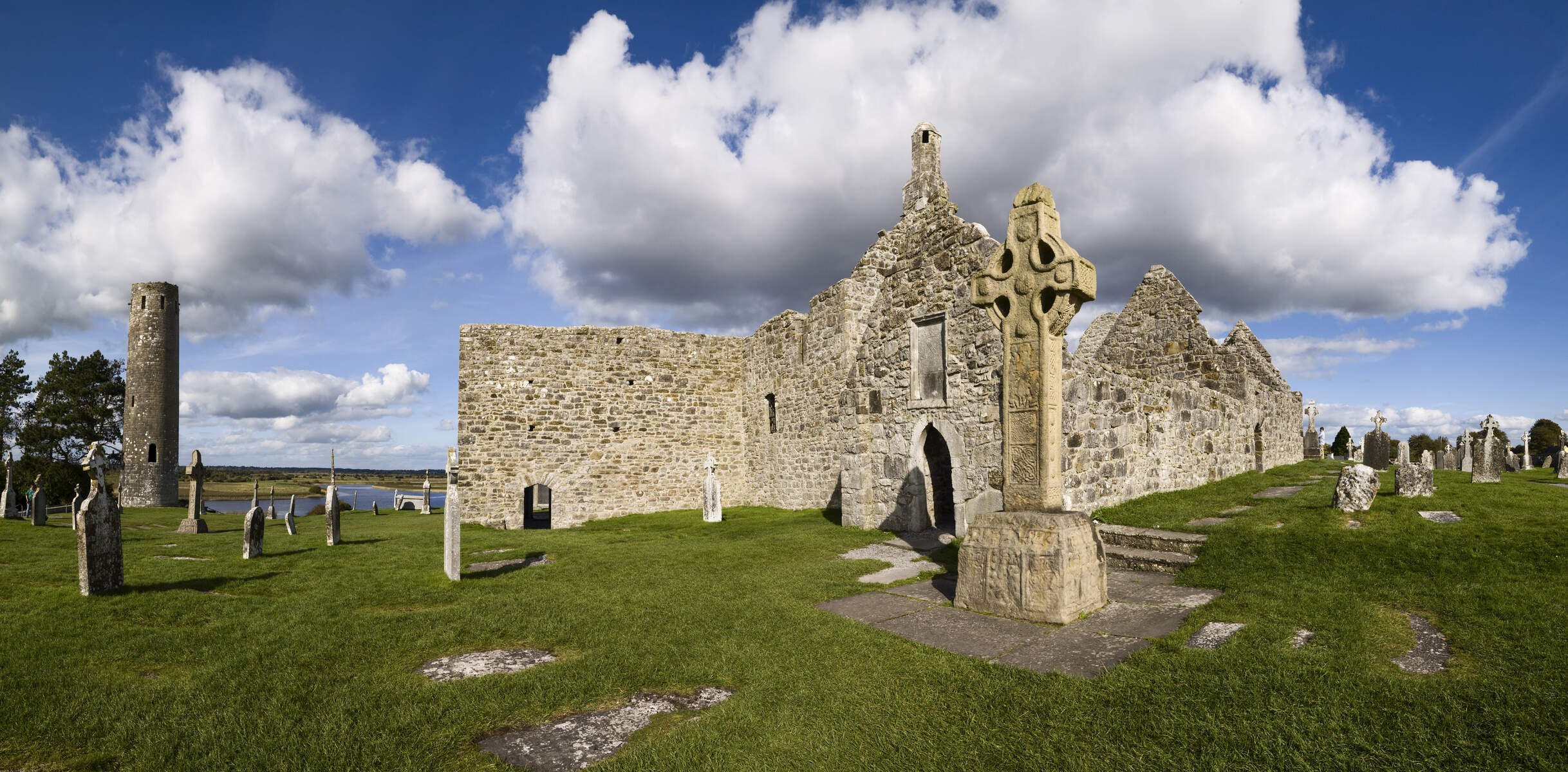 OutlinedEnclosure · 1 yd
 Creeve CastleCastle, tower house · 11 yd
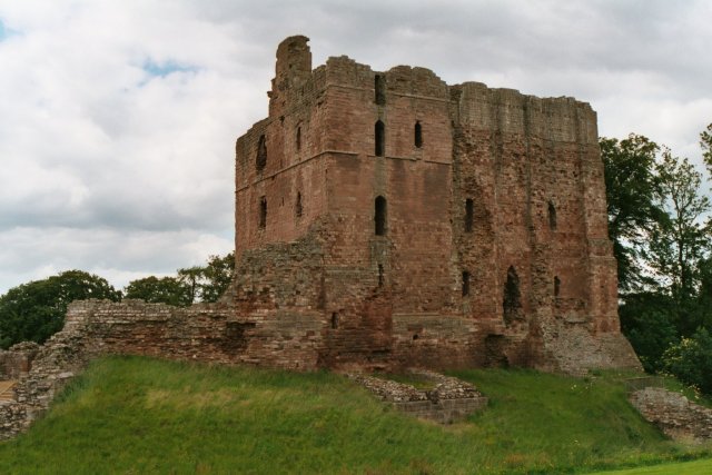 Partially hachuredFairy fort / earthen ringfort · 1273 yd
 farm housefarm house · 1497 yd
 outbuildingoutbuilding · 1514 yd
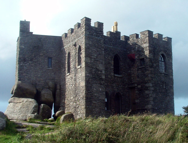 Carn CastleCastle, tower house · 1.2 mi
 Dún na Sí Heritage CentreMuseum · 3.8 mi
 Dún na SíMuseum · 3.8 mi
 Temple's IslandIslet · 4.0 mi
 Killinure BayBay · 4.3 mi
 Charles BianconiMemorial · 4.5 mi