What is recorded here
An opening, ‘2ft wide’, possibly to a Man-made underground passage, at c. ITM 535732, 682562 (as indicated on an aerial image) was reported in December 2018. The informant stated that the area was covered over with rocks and is no longer visible. He also remembered a ‘tunnel’ which apparently led to a mound ‘50ft away’ in the field and that limestone steps appeared to lead to the mound when the grass was cut short. On inspection in 2019 the mound was located using photographs provided but it was found to be natural with substantial rock outcrop. Natural rock outcrop occurs here and there throughout this and the undulating adjoining fields. The area of the supposed opening is completely covered with very large boulders from field clearance and is also heavily overgrown. Any opening cannot be seen or verified in this area.
Compiled by: Mary Tunney
Date of upload: 17 April 2019
The monument record does not grant public access. Check the route and ask the landowner before entering private land.
- What survives
- Recorded monument
Places near here
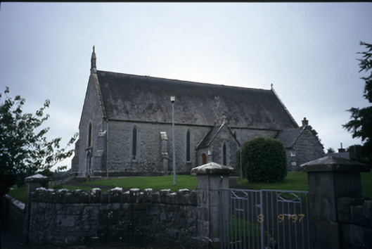 Catholic Church of the Immaculate Conceptionchurch/chapel · 592 yd
 IndicatedFairy fort / stone ringfort · 755 yd
 Enclosure in Derry (bunratty Upper By.)Enclosure · 1029 yd
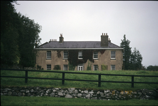 Ballyallia Housecountry house · 1603 yd
 Ardcarney WoodWood · 1.3 mi
 CastleCastle, ringwork · 1.6 mi
 Ballygriffy WoodWood · 2.2 mi
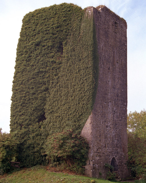 Ballygriffy CastleCastle · 2.2 mi
 Ennis AbbeyMuseum · 3.2 mi
 Clare MuseumMuseum · 3.3 mi
 Battle of TullyodeaBattlefield · 3.9 mi
 Mulkere MemorialMemorial · 4.2 mi