What is recorded here
At a rath (SL012-023001-). An opening into a tunnel roofed with stone lintels was uncovered in the W part of the rath (local information). No visible trace.
Compiled by: Patrick F. O'Donovan
Date of upload: 19 January 2011
This remains an important historical record, but the official description says the monument is no longer visible or has been destroyed. The monument record does not grant public access. Check the route and ask the landowner before entering private land.
- What survives
- No visible remains or recorded as destroyed
Places near here
 IndicatedFairy fort / earthen ringfort · 10 yd
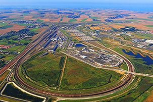 Fulacht fia in CarrowcaslanFulacht fia · 791 yd
 Templeboy Church (in Ruins)Church · 923 yd
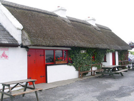 public housepublic house · 1310 yd
 Aughris BeachBeach / strand · 1404 yd
 Aughris HeadHeadland · 1.2 mi
 Dunmoran StrandBeach / strand · 1.4 mi
 DonaghHeadland · 3.6 mi
 Bawn in CarrowbrickeenBawn · 4.1 mi
 Knockalongy North-East TopMountain / peak · 4.2 mi
 Site of Dunneill CastleCastle, unclassified · 4.4 mi
 KnockalongyMountain / peak · 4.5 mi