What is recorded here
Closed for good. The boy threw a stone through the hole and listened for water. Nothing returned, only a low breath from the earth. He pulled the stone back out and left it leaning against the grass. Some doors refuse entry because they are already inside you.
In SW of ringfort (MA100-115----). A depression may represent the remains of a collapsed Man-made underground passage. Inaccessible at time of survey.
The above description has been derived from D. Lavelle (compiler), An Archaeological Survey of Ballinrobe and District including Lough Mask and Lough Carra. Lough Mask and Lough Carra Tourist Development Association (1994), No. 543.
Date of upload: 11 February 2013
The monument record does not grant public access. Check the route and ask the landowner before entering private land.
- What survives
- Recorded monument
Places near here
 IndicatedFairy fort / earthen ringfort · 322 yd
 LisroeEnclosure · 1173 yd
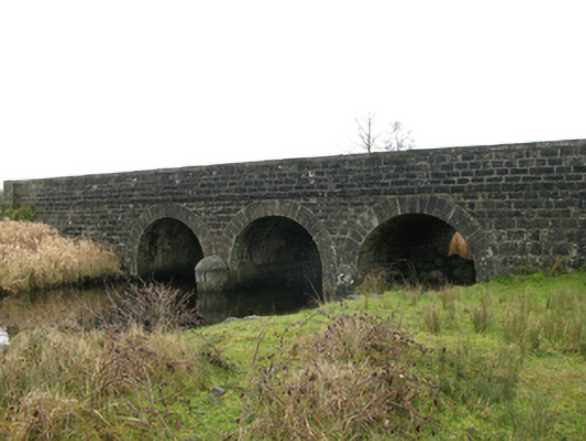 Annies Bridgebridge · 1627 yd
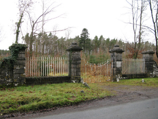 Moore Hallgates/railings/walls · 1.1 mi
 Creevagh IslandIslet · 1.2 mi
 Connors IslandIslet · 1.3 mi
 Moore Hall Forest TrailWalking route · 1.4 mi
 Bawn in BellanaloobBawn · 1.4 mi
 Caislen-na-CailligheCastle, unclassified · 1.5 mi
 Moore Hall ForestForest · 1.6 mi
 Kiltoom PointHeadland · 1.6 mi
 Castlepark WoodWood · 2.7 mi