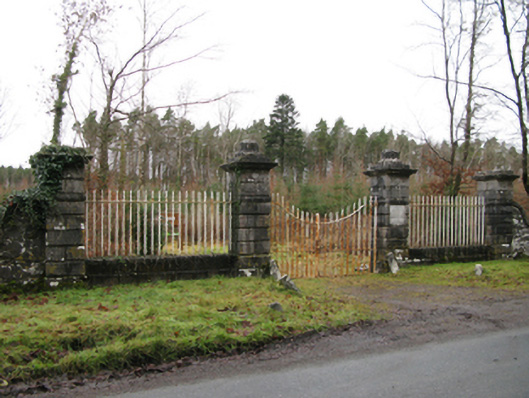
What is recorded here
Gateway, dated 1821, on a symmetrical plan comprising pair of benchmark-inscribed drag edged rusticated limestone ashlar piers on monolithic plinths having ogee-detailed cornices on "Patera"-detailed panelled friezes below capping supporting wrought iron double gates with drag edged rusticated limestone ashlar outer piers on monolithic plinths having ogee-detailed cornices on "Patera"-detailed panelled friezes below capping supporting wrought iron railings. Now disused. Road fronted at entrance to grounds of Moore Hall.
A gateway not only making a pleasing visual statement in a sylvan street scene at the principal entrance on to the grounds of the Moore Hall estate, but also clearly illustrating the continued development or "improvement" of the estate with a relic reclaimed from the nearby Newbrook House estate (Moore 1912 II, 254; Moore 1914 III, 307): meanwhile, a benchmark remains of additional interest for the connections with cartography and the preparation of maps by the Ordnance Survey (established 1824).
This does not grant access. Most recorded buildings are privately owned; view them only from public ground unless the owner allows entry.
Places near here
 Enclosure in Muckloon OR MoorehallEnclosure · 425 yd
 Moore Hall Forest TrailWalking route · 547 yd
 Moore Hall ForestForest · 904 yd
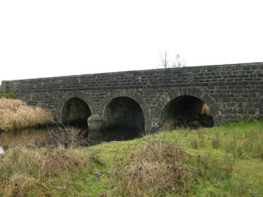 Annies Bridgebridge · 916 yd
 KiltoomMemorial · 998 yd
 Connors IslandIslet · 1172 yd
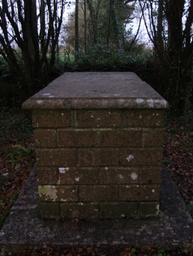 graveyard/cemeterygraveyard/cemetery · 1306 yd
 Creevagh IslandIslet · 1319 yd
 Kiltoom PointHeadland · 1326 yd
 IndicatedFairy fort / earthen ringfort · 1633 yd
 Caislen-na-CailligheCastle, unclassified · 1.1 mi
 Caislen-na-CirceCastle, tower house · 1.5 mi
Other information
Photo: National Inventory of Architectural Heritage · Website use allowed for educational or private purposes with source credit