What is recorded here
Situated on a NE-facing slope in rushy pasture. Not marked on any edition of the OS 6-inch map. An earlier report (ITA Survey 1942-4) noted a Man-made underground passage at this location and recorded that its entrance had been closed and was now covered by meadow. Not located.
Compiled by: Patrick F. O'Donovan
Date of upload: 17 April 2013
The monument record does not grant public access. Check the route and ask the landowner before entering private land.
- What survives
- Recorded monument
Places near here
 St. Molaisses WellHoly well · 395 yd
 Teamplenagalliaghdoo (Site of)Religious house, unclassified · 1088 yd
 Bawn in DoonforeBawn · 1.6 mi
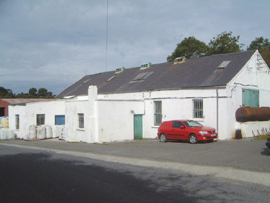 Ballinfull Creamerycreamery · 1.7 mi
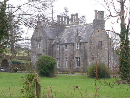 The Rectoryrectory/glebe/vicarage/curate's house · 1.7 mi
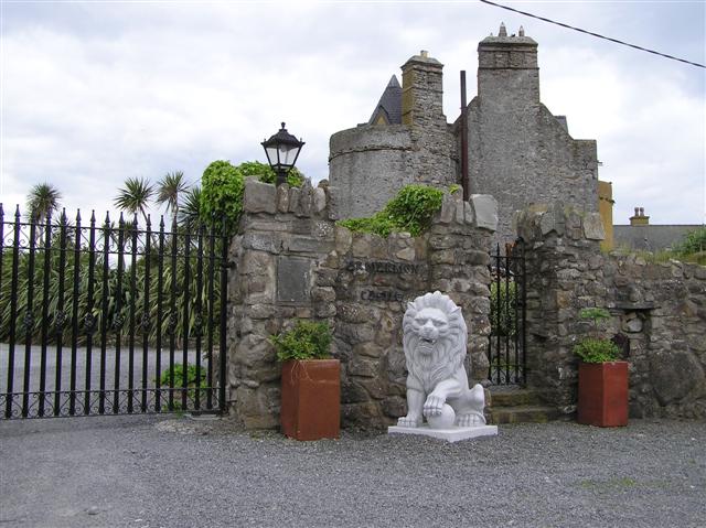 Bawn in ArdtermonBawn · 1.9 mi
 Yellow StrandBeach / strand · 2.0 mi
 Ardtermon StrandBeach / strand · 2.2 mi
 Forester's WoodForest · 2.2 mi
 Horse IslandIslet · 2.4 mi
 Upperglen WoodForest · 2.5 mi
 Coastguard StationRuins · 2.9 mi